South Luangwa National Park
Zambia /
Eastern /
Katete /
World
/ Zambia
/ Eastern
/ Katete
World / Zambia / Northern
park
Add category

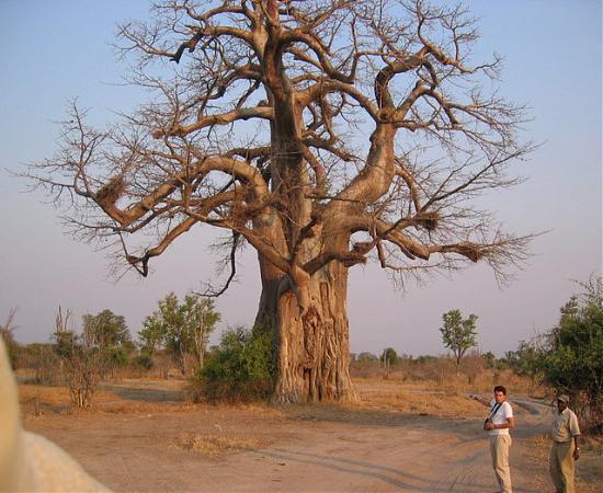

South Luangwa National Park is a renowned national park in eastern Zambia, the southernmost of the three in the valley of the Luangwa River. It supports large populations of Thorneycroft's Giraffe, and herds of elephant and buffalo often several hundred strong, while the Luangwa River supports abundant crocodiles and hippopotamuses. It is one of the best-known national parks in Africa for walking safaris. Founded as a game reserve in 1938, it became a national park in 1972 and now covers 9,050 km².
It's bigger than shown... Wikimapia limits the size you can assign it. (About 60 miles along long axis.)
It's bigger than shown... Wikimapia limits the size you can assign it. (About 60 miles along long axis.)
Wikipedia article: http://en.wikipedia.org/wiki/South_Luangwa_National_Park
Nearby cities:
Coordinates: 13°3'6"S 31°32'52"E
- Parc national de Kundelungu (West) 657 km
- Parc national de l'Upemba 813 km
- Hwange National Park 865 km
- Gonarezhou National Park 896 km
- Ngorongoro Conservation Area 1229 km
- Serengeti National Park 1320 km
- Tsavo West National Park 1343 km
- Kahuzi-Biéga National Park 1347 km
- Maiko National Park 1562 km
- Virunga National Park 1581 km
- Puku Plain 22 km
- Muchinga Mountains 33 km
- Muchinga Escarpment 46 km
- Mfuwe International Airport 48 km
- Lunda Plain 69 km
- Chifungwe Plain 78 km
- Chipata Hill 128 km
- Mpika 136 km
- Ishiba Ng'andu Lake 203 km
- Kanyika Niobium Mine 237 km