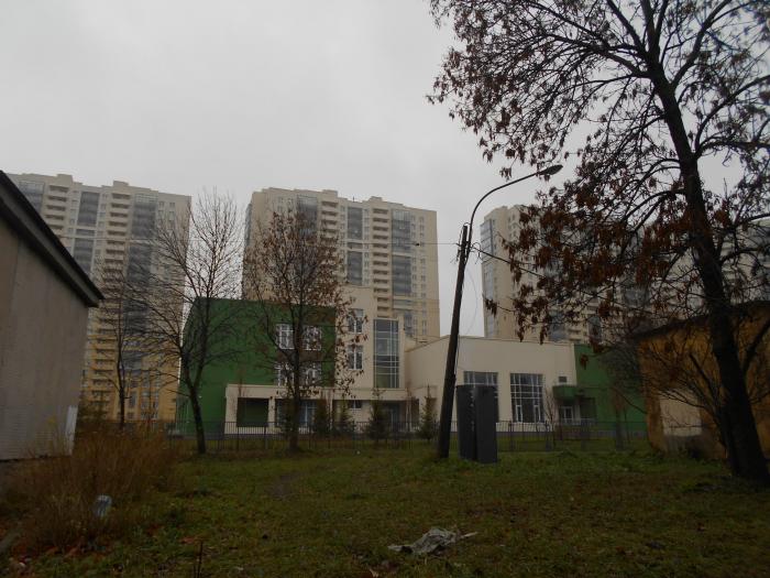
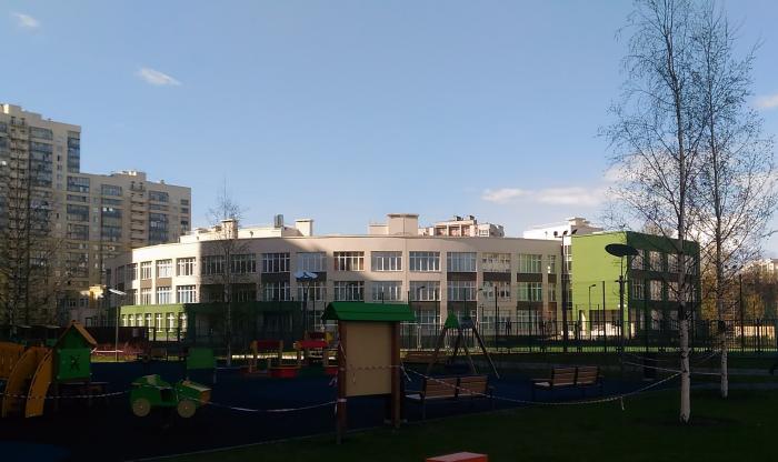
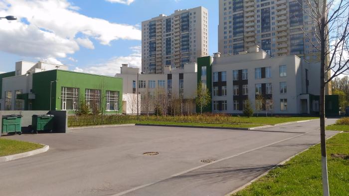
Secondary School (Saint Petersburg)
Russia /
Sankt Petersburg /
Petro-Slavyanka /
Saint Petersburg /
Antokolsky pereulok, 4 корпус 2
World
/ Russia
/ Sankt Petersburg
/ Petro-Slavyanka
, 9 km from center (Петро-Славянка)
secondary education, 2018 construction


Nearby cities:
Coordinates: 59°51'42"N 30°27'19"E
- Srednerogatskaya ulitsa, 20 8 km
- Dvadtsat Shestaya liniya V. O., 7 13 km
- Betancourt Bridge 15 km
- Baltiysky bulvar, 4 17 km
- Begovaya metro station 20 km
- Mixed-use building of The Lakhta Center 21 km
- Lakhta Center 21 km
- Komendantsky prospekt, 66 корпус 1 24 km
- Highways interchange 60 km
- Bridge over Volkhov river 107 km
- Obukhovskiy municipal district 0.1 km
- Aleksandrovskoye 0.9 km
- Sankt-Peterburg-Sortirovochny-Moskovsky classification yard 1.3 km
- Nevsky District 1.3 km
- Left-bank part of the Nevsky district of St. Petersburg 1.3 km
- Municipal Okrug 75 2 km
- Narodny municipal district 2.2 km
- Frunzensky District 2.9 km
- Right-bank part of the Nevsky district of St. Petersburg 4 km
- Rybatskoye Municipal Okrug 4.1 km
Obukhovskiy municipal district
Aleksandrovskoye
Sankt-Peterburg-Sortirovochny-Moskovsky classification yard
Nevsky District
Left-bank part of the Nevsky district of St. Petersburg
Municipal Okrug 75
Narodny municipal district
Frunzensky District
Right-bank part of the Nevsky district of St. Petersburg
Rybatskoye Municipal Okrug