Heiligenberg
Germany /
Baden-Wurttemberg /
Heidelberg /
World
/ Germany
/ Baden-Wurttemberg
/ Heidelberg
mountain, summit
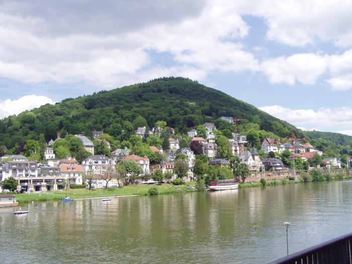
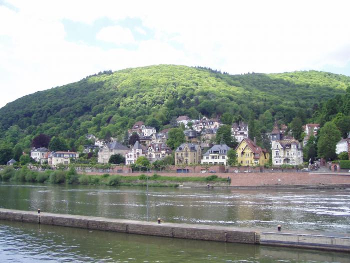
The Heiligenberg is a mountain of Baden-Württemberg, Germany. It rises to the east of the Neuenheim and Handschuhsheim sections of Heidelberg. It was called the Aberinsberg in the Carolingian period; in 1265 Premonstratensians from All Saints' Abbey in the Black Forest took over the two monasteries on the mountain, and its name became Allerheiligen-Berg (all saints' mountain), the ancestor of its present name. Since 2012 it has been protected from excavation by the state of Baden-Württemberg.
Wikipedia article: http://en.wikipedia.org/wiki/Heiligenberg_(Heidelberg)
Nearby cities:
Coordinates: 49°25'33"N 8°42'22"E
- Hohe Warte 21 km
- Hessen-Center 80 km
- Gickelsburg - 471m above sea level 94 km
- Kali Mine 132 km
- Vetzberg 133 km
- Wasserkuppe 149 km
- Milseburg 835 metres (2,740 ft) 151 km
- Gelber Berg 155 km
- Walberla 179 km
- Dolmar 184 km
- Heidelberg Castle 1.8 km
- Hortus Palatinus 1.9 km
- Telecommunication Tower of US Forces - Heidelberg 3.3 km
- Max Planck Institute for Astronomy 3.5 km
- War memorial 3.8 km
- Max Planck Institute for Nuclear Physics 4.3 km
- Bierhelderhof 4.4 km
- European Molecular Biology Laboratory (EMBL) 4.6 km
- Kohlhof Fachklinik 4.8 km
- Neckargemünd station 6.9 km