Munising Falls Visitor Center (Munising, Michigan)
USA /
Michigan /
Munising /
Munising, Michigan /
Sand Point Road, 1505
World
/ USA
/ Michigan
/ Munising
waterfall, visitors / park center
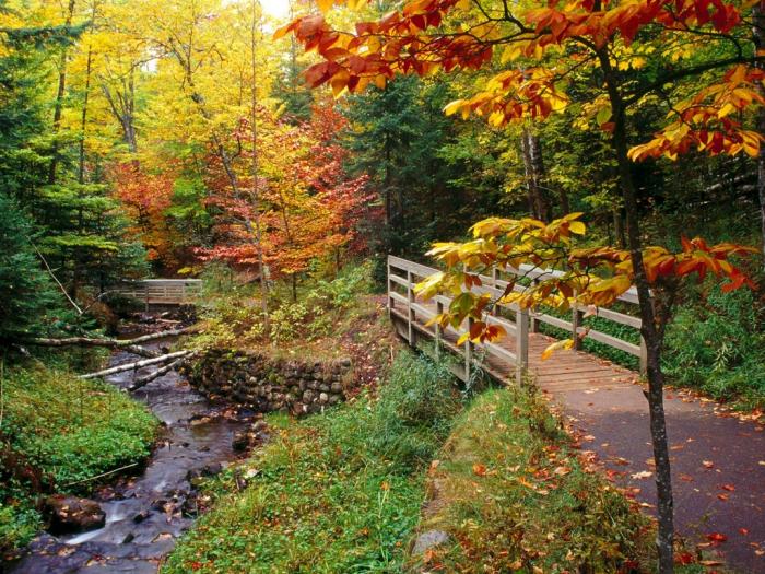
Part of the Pictured Rocks National Lakeshore. A short paved trail leads to a scenic overview of Munising Falls.
www.nps.gov/piro/planyourvisit/visitorcenters.htm
www.nps.gov/piro/planyourvisit/visitorcenters.htm
Wikipedia article: http://en.wikipedia.org/wiki/Munising_Falls
Nearby cities:
Coordinates: 46°25'25"N 86°37'25"W
- Windigo Visitor Center 254 km
- River Raisin National Battlefield and Visitor Center 565 km
- Longaberger Basket Factory and Homestead Visitors Center 789 km
- Alabama Welcome Center 1276 km
- Sewee Visitor & Environmental Education Center 1609 km
- Half Moon Cay Beaches 2610 km
- Céide Fields (Achaidh Chéide) 5269 km
- Glenveagh National Park Visitor Centre 5324 km
- Slimbridge Wildfowl Trust 5819 km
- El Mamghar / Nouâmghâr 6959 km
- Grand Island 10 km
- Pictured Rocks National Lakeshore 28 km
- Hiawatha National Forest 40 km
- Skandia Township 44 km
- Seney National Wildlife Refuge 45 km
- Chocolay Charter Township 48 km
- Turin Township 54 km
- Grand Marais 56 km
- Manistique Lake 68 km
- Carmeuse Lime & Stone Port Inland Quarry & Port 73 km