Campus Map (Suffolk, Virginia)
USA /
Virginia /
Portsmouth /
Suffolk, Virginia
World
/ USA
/ Virginia
/ Portsmouth
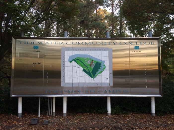
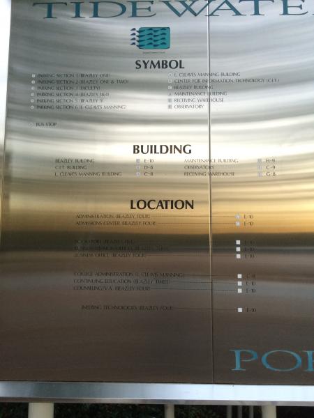


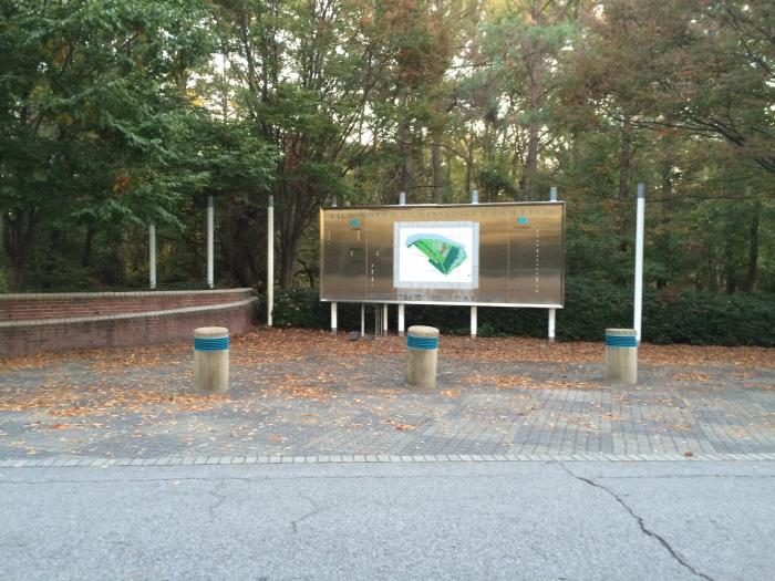
A map of the former TCC Campus. There used to be one at the Cheasapeake Campus, but it is no longer there.
Nearby cities:
Coordinates: 36°53'49"N 76°25'59"W
- Burbage Grant Neighborhood 1.1 km
- Gatling Pointe 18 km
- James River County Club 20 km
- Sandy Bottom Nature Park 20 km
- Hampton City Dump 21 km
- Big Bethel Reservoir 22 km
- Langley Family Housing 23 km
- Bethel Manor 23 km
- CNU Area 23 km
- Coventry 25 km
- Former Tidewater Community College - Portsmouth Campus 0.5 km
- Interstate 664 (Exit 8 - College Drive) 1.2 km
- Joint Staff Suffolk Site 1.5 km
- Riverfront Golf Club 2 km
- Hoffler Creek Wildlife Foundation & Preserve 3 km
- Monitor-Merrimac Memorial Bridge-Tunnel 4.3 km
- Craney Island 6.2 km
- Hampton Roads 6.3 km
- Craney Island US Naval Supply Center 6.6 km
- Isle of Wight County, Virginia 23 km
Former Tidewater Community College - Portsmouth Campus
Interstate 664 (Exit 8 - College Drive)
Joint Staff Suffolk Site
Riverfront Golf Club
Hoffler Creek Wildlife Foundation & Preserve
Monitor-Merrimac Memorial Bridge-Tunnel
Craney Island
Hampton Roads
Craney Island US Naval Supply Center
Isle of Wight County, Virginia