Public Toilets (Cromford)
United Kingdom /
England /
Cromford-Matlock Bath /
Cromford
World
/ United Kingdom
/ England
/ Cromford-Matlock Bath
public toilet
Add category
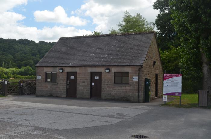
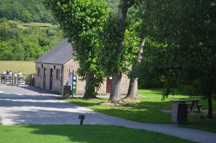
Public toilets at the end of the Cromford Wharf car park.
Nearby cities:
Coordinates: 53°6'34"N 1°33'7"W
- Hampstead Heath Extension 194 km
- Golders Hill Park 195 km
- St Ann's Hospital 197 km
- Southwark Park 206 km
- M1 North Service Area 314 km
- M1 South Service Area 314 km
- Applegreen Castlebellingham M1 Southbound 334 km
- Applegreen Castlebellingham M1 Northbound 335 km
- Applegreen Enfield (M4 West Bound) 356 km
- Applegreen Enfield (M4 East Bound) 357 km
- Cromford Meadows 0.2 km
- Bolehill 2.2 km
- Dethick, Lea and Holloway 2.3 km
- Wirksworth Moor 2.9 km
- Shining Cliff Woods 3.6 km
- Alport Height 5.6 km
- Blackbrook 10 km
- Cross o' th' Hands 10 km
- Shottle Gate 10 km
- Butterley Reservoir 11 km