Phoenix Shot Tower (Baltimore, Maryland)
USA /
Maryland /
Baltimore /
Baltimore, Maryland /
East Fayette Street, 801
World
/ USA
/ Maryland
/ Baltimore
World / United States / Virginia
tower, place with historical importance, NRHP - National Register of Historic Places, interesting place, 1820s construction, shot tower
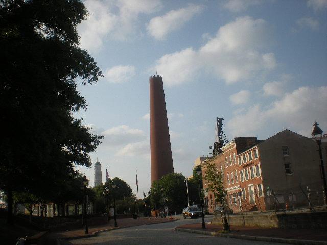
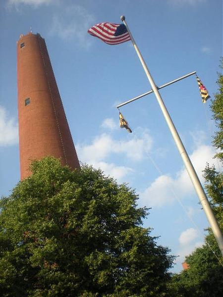
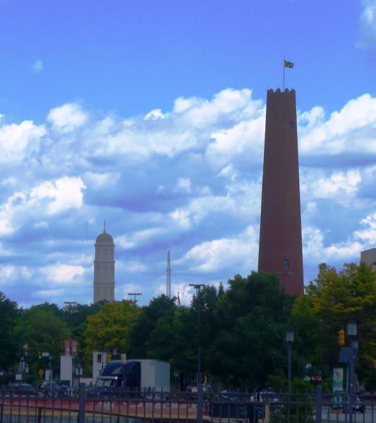
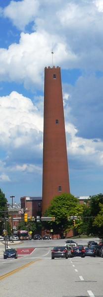
A 215-foot tall round brick tower, this was once a defense plant -- hot metal would be dropped from the top of the tower into water in the base of the tower, forming shot. In recent decades, popular restaurants have occupied the ground level.
Wikipedia says that this was the tallest structure in the U.S. from 1828 to 1846.
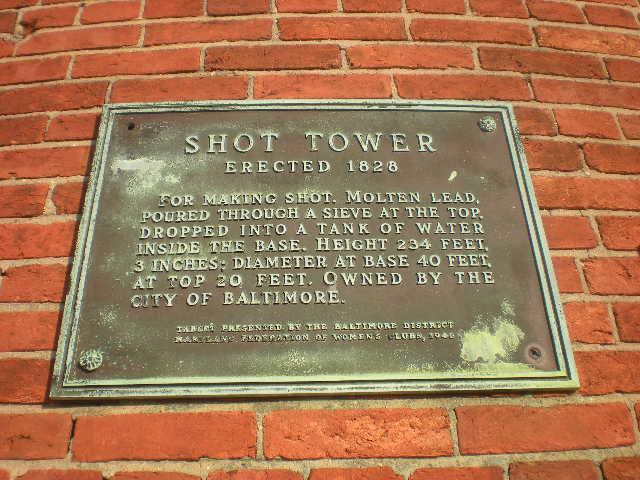
Built in 1828 by the Phoenix Shot Tower Company, this soaring 215 foot structure is the last remaining shot tower of the three that accented Baltimore’s skyline in the 19th century. Shot pellets used as ammunition for muskets was produced by pouring molten lead through perforated pans from “dropping stations” high up in the tower. The swift passage of the lead droplets down the shaft rounded the pellets into shot. The “quenching tank” of water at the bottom cooled and solidified them.
(410) 396-5894
801 E Fayette St, Baltimore, MD 21202
www.hmdb.org/marker.asp?marker=2598
www.waymarking.com/waymarks/WM4791
mht.maryland.gov/NR/NRDetail.aspx?NRID=80.
Wikipedia says that this was the tallest structure in the U.S. from 1828 to 1846.
Built in 1828 by the Phoenix Shot Tower Company, this soaring 215 foot structure is the last remaining shot tower of the three that accented Baltimore’s skyline in the 19th century. Shot pellets used as ammunition for muskets was produced by pouring molten lead through perforated pans from “dropping stations” high up in the tower. The swift passage of the lead droplets down the shaft rounded the pellets into shot. The “quenching tank” of water at the bottom cooled and solidified them.
(410) 396-5894
801 E Fayette St, Baltimore, MD 21202
www.hmdb.org/marker.asp?marker=2598
www.waymarking.com/waymarks/WM4791
mht.maryland.gov/NR/NRDetail.aspx?NRID=80.
Wikipedia article: http://en.wikipedia.org/wiki/Phoenix_Shot_Tower
Nearby cities:
Coordinates: 39°17'26"N 76°36'19"W
- Inner Wall - Harbor of Refuge Breakwater 140 km
- NJN Radio Tower (Wateford Township) 159 km
- WWSI 197 km
- AT&T Long Lines Cherryville Switching Station 203 km
- Metropolis Towers - 280 270 km
- WEPN 1050 AM (1050 ESPN New York) Radio Broadcast Towers 273 km
- WBBR AM Radio Broadcast Towers 276 km
- Alpine (Armstrong) Tower 294 km
- WTVD TV Mast 438 km
- WITN Tower 442 km
- Baltimore City Center 0.6 km
- Penn-Fallsway 0.7 km
- Downtown Baltimore 0.9 km
- Inner Harbor District 1.1 km
- Inner Harbor 1.1 km
- Mount Vernon (Baltimore) 1.2 km
- Fells Point 1.3 km
- Johns Hopkins University - East Baltimore (Medical) Campus 1.4 km
- Mid-Town Belvedere 1.8 km
- Baltimore County, Maryland 16 km