Geodetic point
Macedonia /
Radovis /
Konce /
World
/ Macedonia
/ Radovis
/ Konce
, 14 km from center (Конче)
geodetic point
Add category
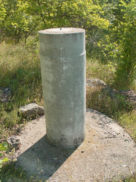
Used for control for stability of the dam.
Nearby cities:
Coordinates: 41°34'55"N 22°19'23"E
- Peak Kara Tash - 638 m 8.6 km
- Height - 136 m 28 km
- Height - 972 m 67 km
- Landesamt für Geoinformatiom und Landentwicklung Baden-Württemberg 1303 km
- 18N 53E 1312 km
- Waypoint FWE or FWE GM 1354 km
- Dueodde 1586 km
- Geographic center of the Netherlands 1739 km
- Lowest point of the Netherlands 1769 km
- Blåvandshuk 1870 km
- Mantovo Reservoir lake 2.2 km
- Lakavichka Valley 2.7 km
- Ploča 4.1 km
- Municipality of Konche 8.5 km
- Konechka Mt. (Serta) 11 km
- Municipality of Radovish 15 km
- Municipality of Negotino 16 km
- Municipality of Shtip 20 km
- Plačkovica 23 km
- Tikvesh 28 km