Nederbrakel
Belgium /
Ost-Flandern /
Brakel /
World
/ Belgium
/ Ost-Flandern
/ Brakel
village, draw only border
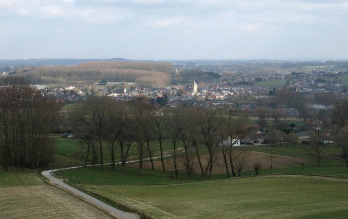
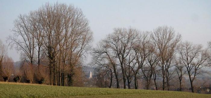
Nederbrakel is a village in the municipality of Brakel. It is located in the Denderstreek and in the Flemish Ardennes, the hilly southern part of the province of East-Flanders, Belgium. With 6500 residents, it forms the largest individual part of the municipality.
Wikipedia article: http://fr.wikipedia.org/wiki/Nederbrakel
Nearby cities:
Coordinates: 50°48'19"N 3°45'42"E
- Brakel (municipality) 6.4 km
- Zottegem (Municipality) 13 km
- Ninove (municipality) 13 km
- Oudenaarde (municipality) 19 km
- Lochristi (Municipality) 38 km
- Ghent 38 km
- Lokeren (Municipality) 41 km
- Evergem (municipality) 45 km
- Sint-Niklaas (Municipality) 47 km
- Temse (Municipality) 49 km
- Water catchment area of Top Bronnen 1.1 km
- Brewery De Graal 1.5 km
- Water tower 1.7 km
- Lilare castle 2.1 km