Rangitoto Island
New Zealand /
Auckland /
North Shore /
World
/ New Zealand
/ Auckland
/ North Shore
World / New Zealand / Waikato / Franklin
island, volcano


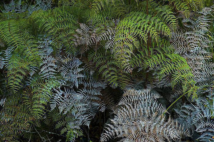
Rangitoto Island is the largest, youngest and one of the least modified of about 50 volcanic cones and craters in the Auckland volcanic field. It erupted from the sea in a series of dramatic explosions around 600 years ago, and is now extinct. It dominates the local seascape and a visit there is like stepping into another world. The island is a public reserve managed by the Department of Conservation and is famed world-wide as a botanical gem.
Location: Rangitoto Island is a volcanic island in the Hauraki Gulf near Auckland, New Zealand.
A symmetrical shield volcano cone rising 260 metre (850 ft) high.
Rangitoto was formed by a series of eruptions between 600 and 700 years ago. It is the largest volcano in the Auckland Volcanic Field with amount of mass that erupted from the volcano was about equal to the combined mass of all other eruptions in the Auckland Volcanic Field before.
Rangitoto is an volcanic landmark in Auckland's inner harbour which pushed its way through the ocean floor around 600 years ago. Richly upholstered in basalt lava, Rangitoto offers spectacular 360 degree views from its summit, lava caves and the world's largest pohutukawa forest. The journey to the summit can be made by foot or four-wheel-drive.
See: en.wikipedia.org/wiki/Auckland_Volcanic_Field
Wikipedia article: http://en.wikipedia.org/wiki/Rangitoto
Nearby cities:
Coordinates: 36°47'10"S 174°51'45"E
- Motutapu Island 6.9 km
- Waiheke Island 12 km
- Ponui Island 26 km
- Whanganui Island 50 km
- Great Mercury Island 83 km
- Matakana Island 125 km
- Mayor Island 133 km
- Rangiwaea Island 142 km
- Motiti Island 164 km
- Kapiti Island (Entry Island) 449 km
- Boulder Bay 2.5 km
- Flax Point 2.9 km
- Coast Guard Bay 3 km
- Gardiner Gap 3.2 km
- McKenzie Bay 3.2 km
- Islington Bay 3.5 km
- Motukorea Channel 3.9 km
- Rangitoto Channel 4.6 km
- Administration Bay 5.7 km
- Waitemata Harbour 13 km
Comments