Wadi al Atrash
Egypt /
al-Bahhr-al-Ahhmar /
Hurghada /
World
/ Egypt
/ al-Bahhr-al-Ahhmar
/ Hurghada
, 81 km from center (الغردقة)
valley, place with historical importance, uad / wad / wadi

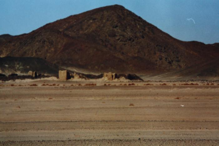
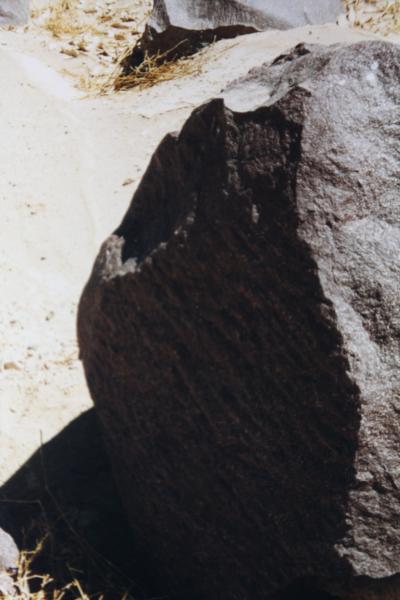
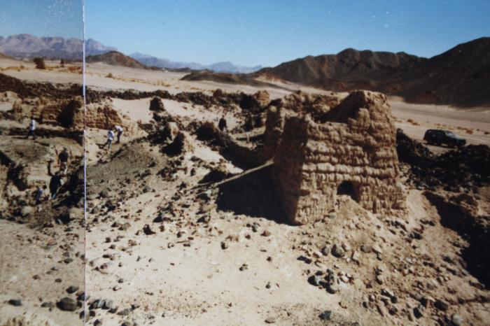
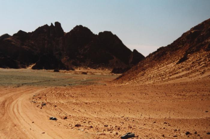
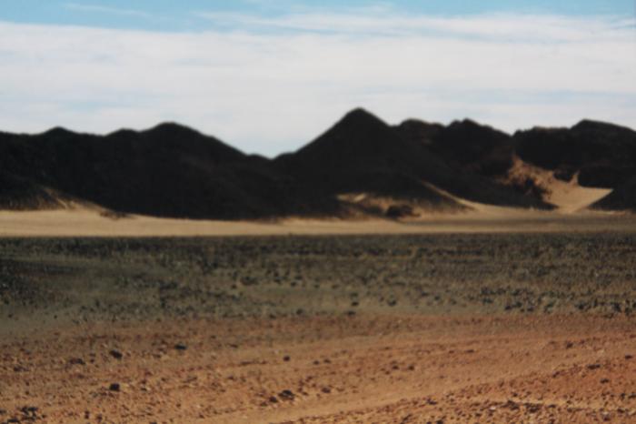
section of the route that the rocks were transported by the Romans to reach the Nile. Some reemains still are to be found e.g. Deit al Atrash, a roman Fort, and rocks that were left behind when the Roman stopped to exploit the mountain area
Nearby cities:
Coordinates: 26°59'11"N 33°7'39"E
- Wadi Qena 141 km
- Wadi Rum 378 km
- Wadi Araba 478 km
- Jordan Valley 677 km
- Wadi al Gubba 831 km
- Aref Canyon 984 km
- Wadi Houran 1020 km
- Çukurova (Plain) 1123 km
- Cilician Gates 1183 km
- Muş Valley 1534 km
- Hurghada-Assuit road 15 km
- Jebel Abu Abid 31 km
- Wadi Fatirah al Bayda 31 km
- Wadi Umm Nifay 32 km
- Jebel Abu Hamr 35 km
- Jebel Abu Dulf 37 km
- Jebel Umm Dalfah 42 km
- Jebel Umm Inab 45 km
- Jebel Umm Jidan 47 km
- Wadi Qena military airbase 48 km