State Emblem of the Soviet Union (Prypiat)
Ukraine /
Kyyivska /
Prypyat /
Prypiat
World
/ Ukraine
/ Kyyivska
/ Prypyat
, 5 km from center (Припьять)
draw only border
Add category
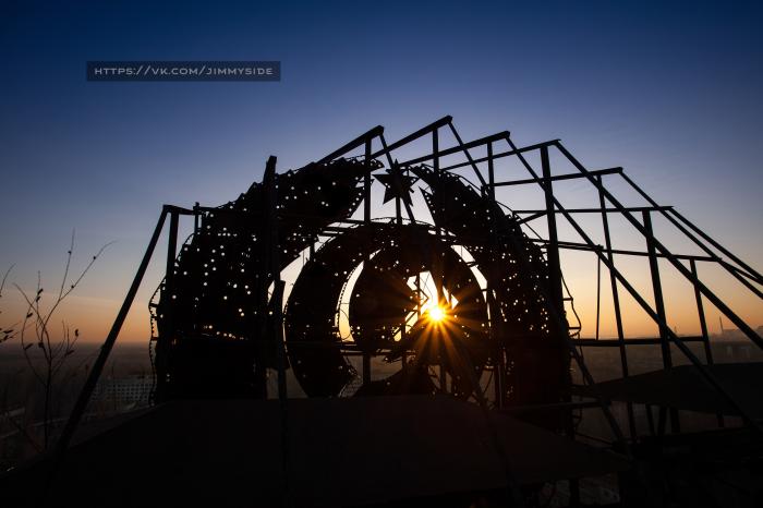
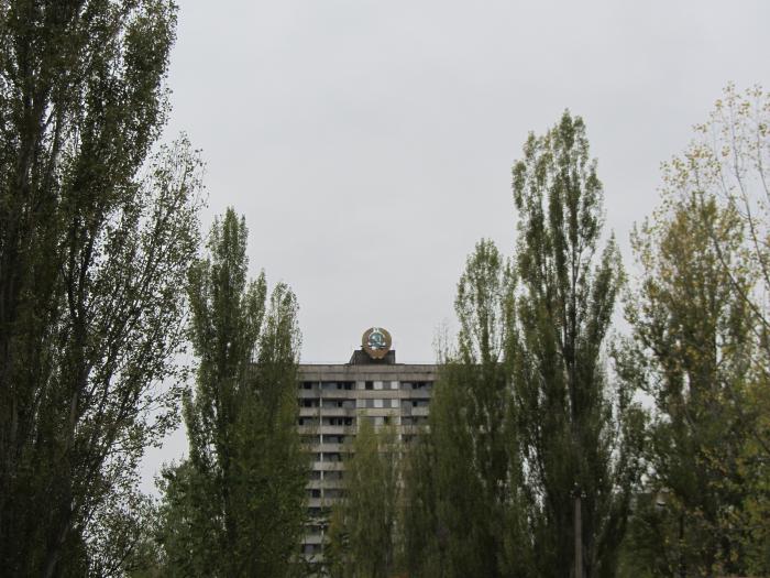
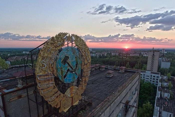
Installed on the roof of 16-story building, had a neon lighting
Nearby cities:
Coordinates: 51°24'16"N 30°3'17"E
- 330 kV transmission line 4 km
- Old Shepelychi 11 km
- Khutar Les 18 km
- Khatki 22 km
- Village of Denisovichi 28 km
- Kamenka 28 km
- Ivankiv Raion 52 km
- Chernobyl Radiation and Environmental Biosphere Reserve 56 km
- fenced area 59 km
- Town 71 km
- A belt of trees from before the catastrophe 0.3 km
- City square 0.3 km
- II Microdistrict 0.3 km
- III Microdistrict 0.4 km
- Water treatment station (fluoridation & deironing) 0.5 km
- I Microdistrict 0.5 km
- City center 0.5 km
- Garages 0.6 km
- The Mobile Mechanized Autocade №35 0.6 km
- IV Microdistrict 0.8 km