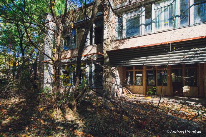
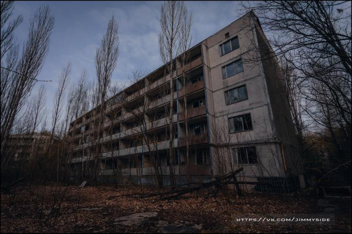
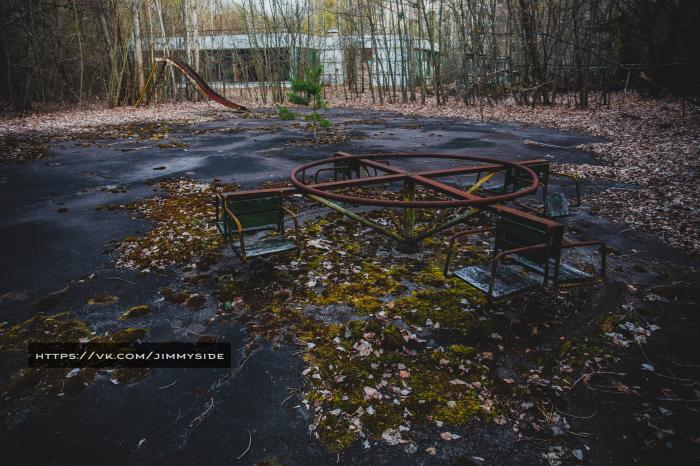
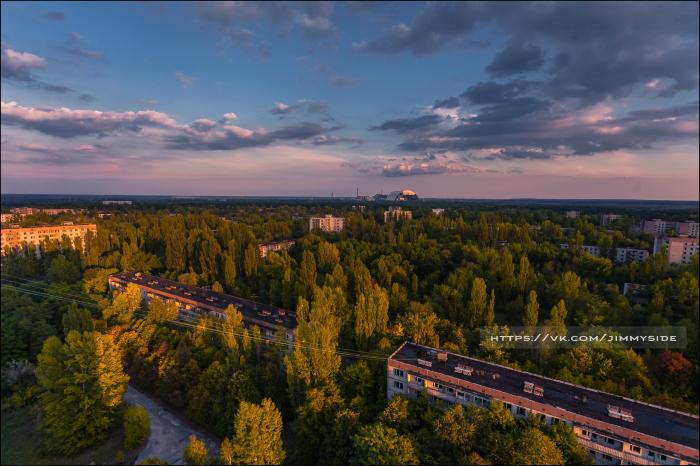
II Microdistrict (Prypiat)
Ukraine /
Kyyivska /
Prypyat /
Prypiat
World
/ Ukraine
/ Kyyivska
/ Prypyat
, 5 km from center (Припьять)
World / Ukraine / Kiev
ruins, quarter (urban subdivision), invisible

Nearby cities:
Coordinates: 51°24'6"N 30°3'26"E
- I Microdistrict 0.6 km
- III Microdistrict 1.2 km
- IV Microdistrict 1.6 km
- V microdistrict 1.7 km
- Northern Radioactive Track 1.7 km
- Yablunka 49 km
- Kiev block 50 km
- Dobryninsky block 51 km
- Chyrvony Pil'shchyk 82 km
- Malinina microdistrict 93 km
- Water treatment station (fluoridation & deironing) 0.2 km
- I Microdistrict 0.4 km
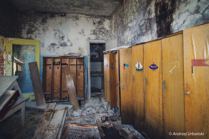
- The territory of the kindergarten "Golden Key" 0.4 km
- The Mobile Mechanized Autocade №35 0.5 km
- A belt of trees from before the catastrophe 0.5 km
- City square 0.5 km
- Garages 0.6 km
- Middle school № 3 0.7 km
- City center 0.7 km
- Chornobyl Exclusion Zone 15 km