ATLS-9701 (Port Hueneme, California)
USA /
California /
Port Hueneme /
Port Hueneme, California
World
/ USA
/ California
/ Port Hueneme
ship, training center, United States Navy
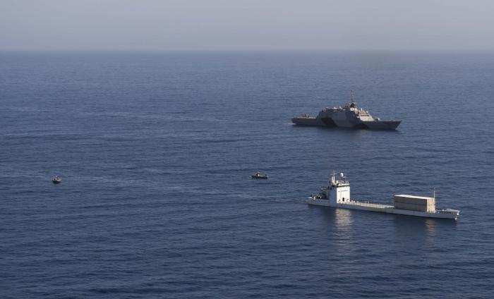
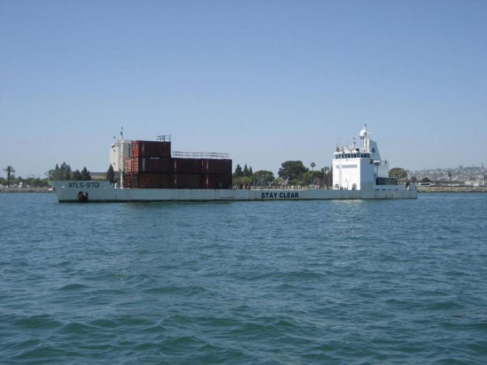
Built in 1998 as a dedicated drone launching ship for the Naval Air Warfare Command's MQM-8G Vandal program, the ATLS-9701 served as a mobile SSM and SLCM "threat" platform role during the testing of both the Phalanx and RIM close-range defensive systems presently mounted aboard US Navy vessels. With the termination of the MQM-8 Vandal program in 2008, the ATLS-9701 shifted her role to that as a multi-agency training platform, most recently being used by US Marine Corps and US Navy to hone the skills of visit, board, search and seizure (VBSS) teams in both small-boat and helicopter vertical insertion methods.
www.navair.navy.mil/targets/PTMO/02_Vessels/Overview_Ve...
www.navair.navy.mil/targets/PTMO/02_Vessels/Overview_Ve...
Wikipedia article: http://en.wikipedia.org/wiki/ATLS-9701
Nearby cities:
Coordinates: 34°9'5"N 119°12'24"W
- Naval Air Station Point Mugu 4.3 km
- Naval Weapons Station Seal Beach 110 km
- San Clemente Island 136 km
- Naval Air Weapons Station China Lake, South Range 244 km
- Naval Air Station Lemoore 259 km
- Naval Air Weapons Station China Lake, North Range 261 km
- Borrego Valley Manuever Area 275 km
- Chocolate Mountain Aerial Gunnery Range (CMAGR) 329 km
- Concord Naval Weapons Station 500 km
- Fallon Naval Range B-17 576 km
- Port of Hueneme 0.3 km
- Naval Construction Battalion Center (CBC), Port Hueneme 1 km
- Silver Strand Beach 1.2 km
- Oxnard Wastewater Treatment Plant 2.2 km
- Hueneme Paper Mill 2.4 km
- Hueneme High School 2.4 km
- Halaco 2.8 km
- Hueneme Offshore Oil Field 6.7 km
- Crash Site of Alaska Airlines Flight 261 on January 31st, 2000 16 km
- Channel Islands National Park 64 km