Mazunte
Mexico /
Oaxaca /
Pochutla /
Federal Highway 175
World
/ Mexico
/ Oaxaca
/ Pochutla
commune - administrative division, invisible
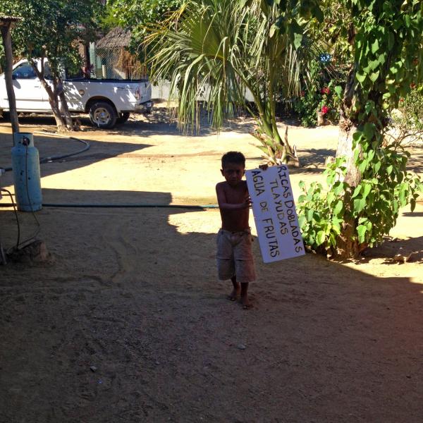
A kilometer west of San Agustinillo, Mazunte has a fine, curving, sandy beach on a scenic bay, with wonderfully beautiful natural surroundings, an interesting turtle center, and a growing variety of basic and classier places to stay and eat. This is a popular travelers’ hangout with a laid-back atmosphere and something of a hippie vibe, where someone somewhere is always likely to be offering yoga, massage,...
www.lonelyplanet.com/mexico/oaxaca-state/mazunte
www.lonelyplanet.com/mexico/oaxaca-state/mazunte
Wikipedia article: http://en.wikipedia.org/wiki/Mazunte
Nearby cities:
Coordinates: 15°39'52"N 96°33'22"W
- San Agustinillo 1.1 km
- San Pedro Pochutla 14 km
- Santa Cruz la Laguna 583 km
- Summit Lighthouse 3542 km
- Rajneeshpuram, Oregon 3950 km
- Doukhobor commune 1923-1928 4038 km
- Hutterian Brethren 4164 km
- Hutterian Brethren 4165 km
- Hutterian Brethren 4172 km
- Hutterian Brethren 4194 km
- Punta Cometa 0.5 km
- La Ventanilla beach 4 km
- Ventanilla Bay 4.9 km
- Tonameca lagoon 6.8 km
- Pluma Hidalgo 33 km
- Bahías de Huatulco International Airport 34 km
- Runway 07/25 34 km
- Marina Chahue 48 km
- Las Brisas Tangolunda 50 km
- SAN MIGUELITO, TEQUISISTLAN 108 km