Hauser Microwave Station (Palmdale, California)
USA /
California /
Desert View Highlands /
Palmdale, California
World
/ USA
/ California
/ Desert View Highlands
microwave tower / microwave transmission, ham radio, radiocommunication
Hauser Peak Transmitter Sites - Various radio repeater sites.
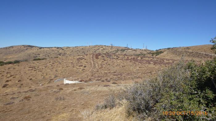
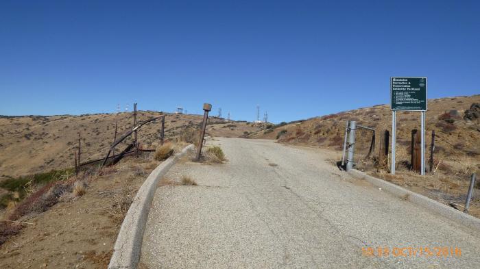
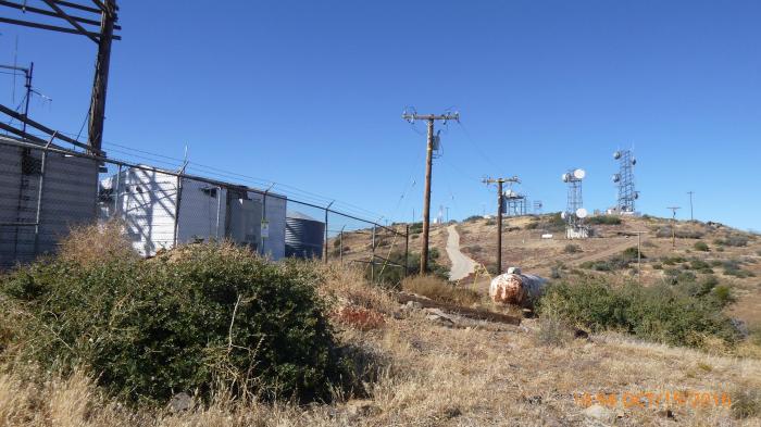
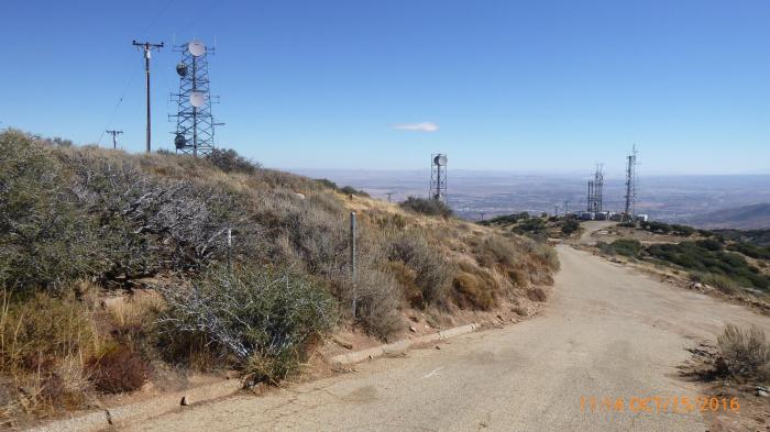
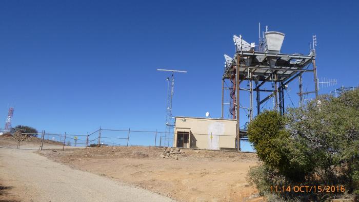
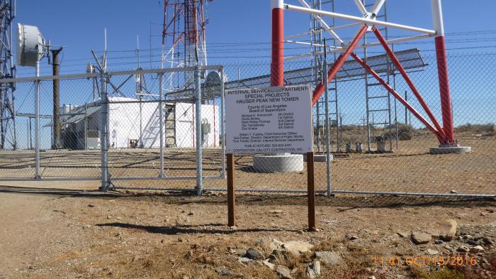
Usually referred to as Hauser Peak, it is officially listed on USGS (Ritter Ridge topo) and other maps as Hauser Microwave Station. It is a significant radio site on the mountains between Acton and Palmdale in the Sierra Pelona Mountains ( en.wikipedia.org/wiki/Sierra_Pelona_Mountains ). It is easily accessible by vehicle from Acton, with a paved road most of the way. Online information about the site is scarce save for references to specific repeaters and services. There is of course more than just microwave activity on Hauser. It may be within a Mountains Recreation and Conservation Authority (MRCA) area, but that's a bit hard to determine.
www.topoquest.com/map.php?lat=34.54694&lon=-118.21646&d...
www.geographic.org/geographic_names/usaname.php?uni=165...
www.mrca.ca.gov/
Nearby cities:
Coordinates: 34°32'49"N 118°12'58"W
- Santiago Peak Radio Site 112 km
- Pleasant Valley Road, 1110 516 km
- Mount Nebo 1062 km
- W0AIH 2551 km
- K9CT Antenna Farm 2576 km
- Greene County Fairgrounds 3076 km
- W4DEX 3434 km
- Vienna Wireless Society - Amateur Radio Field Day site 3653 km
- W1AIM Amateur Radio 4041 km
- Maly Vysotsky Island 9016 km
- Anaverde 4.4 km
- Antelope Valley Public Landfill 6.1 km
- Acton, California 8.1 km
- Lake Palmdale 8.8 km
- Agua Dulce Vineyards 9 km
- Acton Conservation Camp 11 11 km
- Three Sisters Rock 12 km
- San Andreas Fault (Zone) 29 km
- Angeles National Forest 33 km
- Los Angeles County, California 33 km