Khotyn Raion
Ukraine /
Chernivetska /
Klishkivtsi /
World
/ Ukraine
/ Chernivetska
/ Klishkivtsi
, 7 km from center (Клішківці)
district, second-level administrative division, draw only border
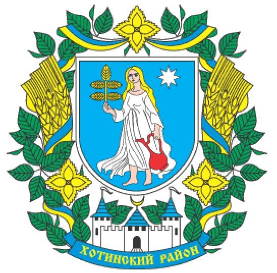
Khotyn Raion (Ukrainian: Хотинський район) is an administrative raion (district) in the southern part of Chernivtsi Oblast in western Ukraine, on the Romanian border. It is part of the historical region of Bessarabia. The administrative center is the city of Khotyn. The region has an area of 716 square kilometres (276 sq mi). Population: 62,633 (2015 est.).
Wikipedia article: https://en.wikipedia.org/wiki/Khotyn_Raion
Nearby cities:
Coordinates: 48°27'51"N 26°19'13"E
- Nadvirna Raion 167 km
- Tiachiv Raion 213 km
- Tarutyne Raion 289 km
- Berezivka Raion 330 km
- Bilhorod-Dnistrovskyi Raion 335 km
- Novoukrainka Raion 361 km
- Kiliya Rayon 369 km
- Oleksandriia Raion 475 km
- Kryvyi Rih Raion 493 km
- Beryslav Raion 506 km
- Ancient rampart. 7.4 km
- Ancient rampart 8.9 km
- Forest 13 km
- Forest 13 km
- Borshchiv Raion 33 km
- Kamianets-Podilskyi Raion 34 km