Deir Lhose
Syria /
Idlib /
Maarrat-an-Numan /
World
/ Syria
/ Idlib
/ Maarrat-an-Numan
, 10 km vom Zentrum (معرة النعمان)
Dorf, byzantine (en), Historische Ruinen
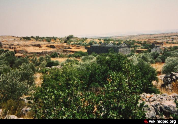
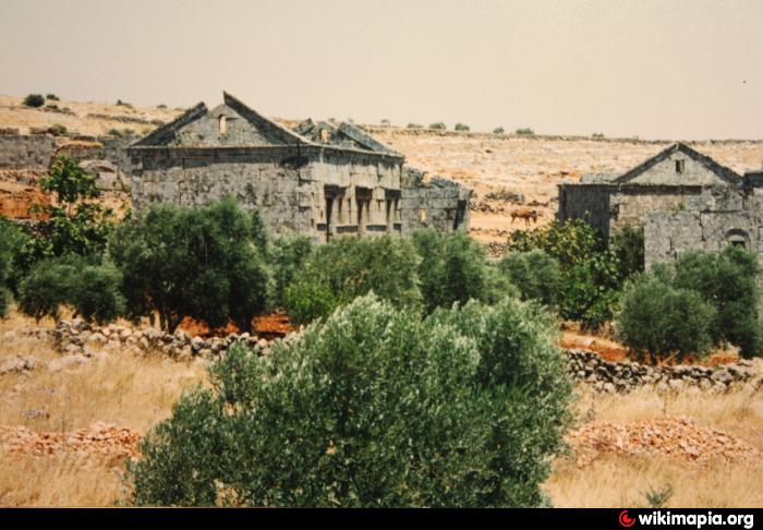
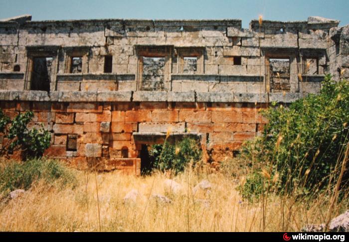
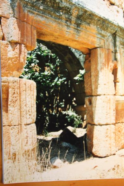
"Kloster der Mandeln", ein kleines byzantinisches Dorf mit den typischen Wohngebäuden Nordsyriens dieser Zeit; Reste einer Basilika sind nicht erkennbar. Einige Häuser sehr gut erhalten, so als wäre die Bevölkerung erst vor einigen Jahrzehnten gegangen. Nicht leicht zu entdecken hinter den Olivenhainen.
Nearby cities:
Koordinaten: 35°41'47"N 36°34'55"E
- Serjilla 2.7 km
- Btirsa 4.9 km
- Bara - das antike Kapropera 5 km
- Rabiyah und Shinshara 6.3 km
- Meez 51 km
- Andarin / Androna 72 km
- St. Simeons Kloster 75 km
- Hierapolis 710 km
- Vatopedi 1199 km
- Athos 1222 km
Array
Kommentare