Main Well
Egypt /
al-Bahhr-al-Ahhmar /
Hurghada /
World
/ Egypt
/ al-Bahhr-al-Ahhmar
/ Hurghada
, 59 km from center (الغردقة)
archeological site, water well
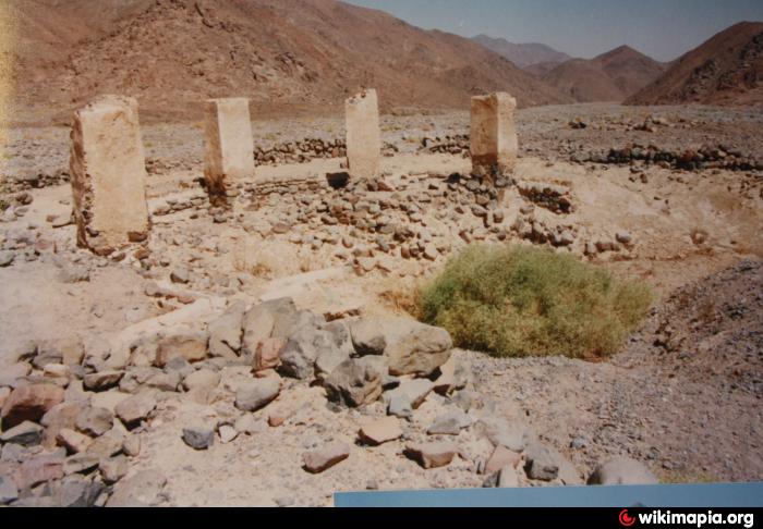
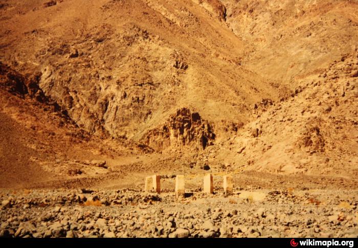
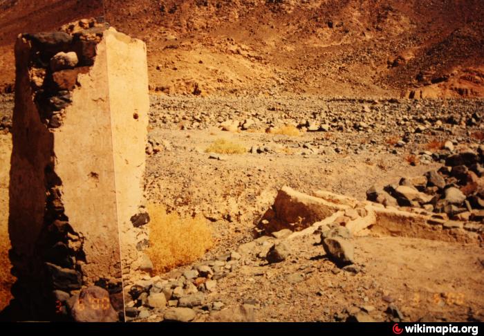
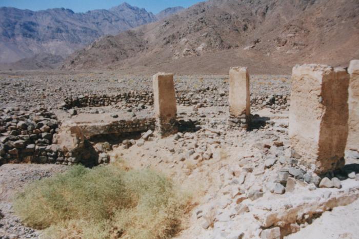
The deep well in the wadi was the main source of water for the quarry site. Though the rare floods in the valley destroyed parts of the construction and it is no longer very deep, it was obviously used later and is still being used by local bedouins.
Nearby cities:
Coordinates: 27°15'3"N 33°18'0"E
- Bir Wahid Well and Ponds 800 km
- Bi’r al Bukhārah 922 km
- Bi'r al `Abbasiyah 935 km
- Bi’r al Majrūdah 964 km
- Al-Wurk Wells 984 km
- Water well&water line 986 km
- Bi’r Quţquţ 994 km
- Bir Ghurayta 1063 km
- Bir Abu Al-Habaya 1079 km
- Bir Qarmadli 1134 km
- Mons Porphyritis 1.3 km
- Jebel Dukhan 3.3 km
- Wadi Umm Sidrah 3.8 km
- Wadi al Mu'allaq 5.8 km
- Wadi Bili 8.8 km
- Jebel al Qattar 18 km
- Wadi Umm Nifay 23 km
- Hurghada-Assuit road 25 km
- Wadi Abu Marwa 25 km
- Wadi al Atrash 34 km