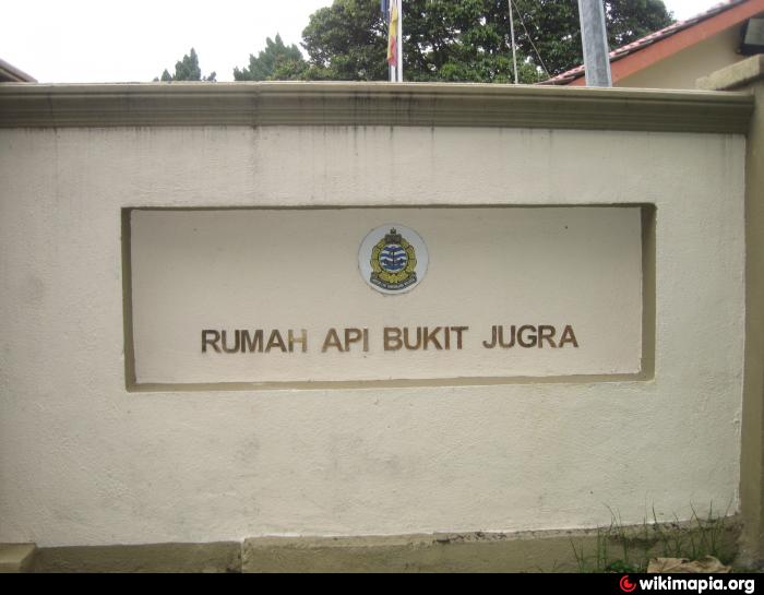
Bukit Jugra Lighthouse & VTS Control Tower
Malaysia /
Selangor /
Banting /
World
/ Malaysia
/ Selangor
/ Banting
lighthouse, control tower, weather radar
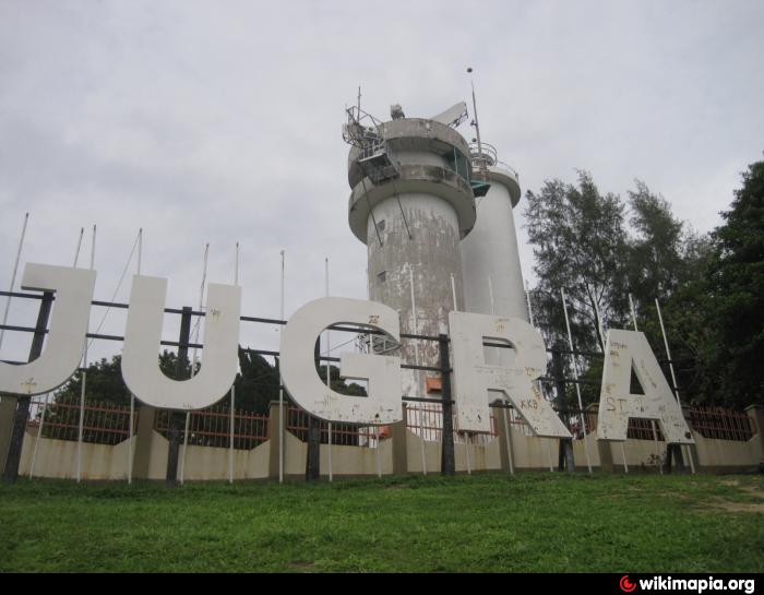
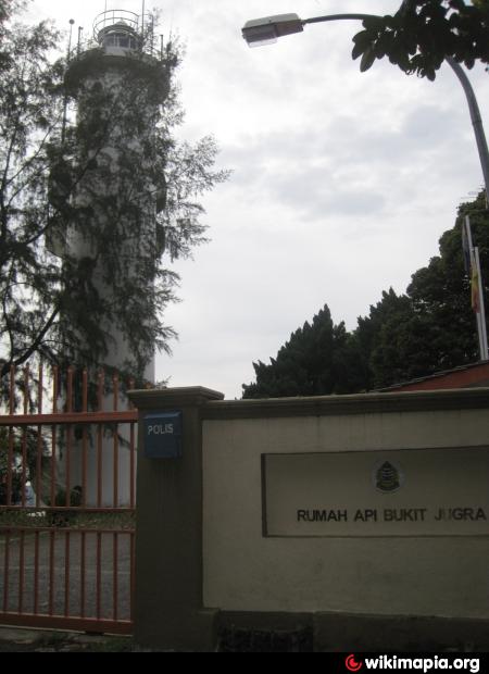
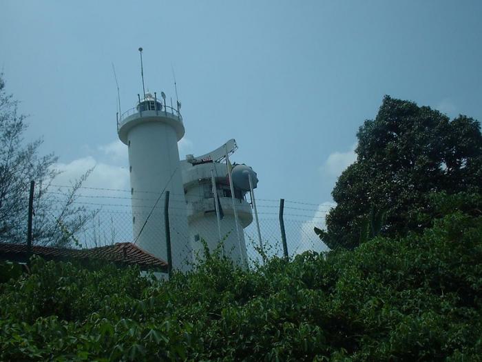
The old Bukit Jugra lighthouse was built during the colonial era and the new one in 1976 (79m tall).Bukit Jugra is 149m high. Legend has it that: "In the early days, many ships had tried but all of them failed to reach the beach that supports this great Jugra Hill, which locals then called Bukit Kerang, directly translated as Cockle Hill. In the late 19th century, British vessels had been travelling for weeks along the Straits of Malacca and each time they closed in, the shores of Bukit Kerang sneakily moved backwards further inland, breaking these mighty fleets as they yielded to mounting frustration. Tired and thoroughly aggravated by the situation, the English constructed a lighthouse on top of the hill to guide their vessels. From then on, deep into the night, when all were asleep a beacon of light would part the darkness searching for ships to welcome ashore. Violated by the construction of the lighthouse atop its sacred peak, the hill bled continuously for 30 long days. The waters surrounding this great knoll assumed the rusty-red colour of the cockles that resided in the area. Ironically, the cockle population started to dwindle and slowly disappeared not long after the incident." - Source: Tourism Malaysia
Nearby cities:
Coordinates: 2°50'8"N 101°25'3"E
- One Fathom Bank Lighthouse 40 km
- Pulau Panjang 120 km
- Grainger Bank 1147 km
- Alexandra Bank 1168 km
- Prince of Wales Bank 1170 km
- North Brother Island 1326 km
- Wilson Island and Light House 1395 km
- Narcondam Island Light House 1419 km
- Lighthouse Gành Đèn 1458 km
- Bach Long Vi Lighthouse 2044 km
- Kuala Langat District 7.9 km
- Pulau Carey 8.1 km
- Pulau Indah 15 km
- Bandar Botanic 18 km
- Pulau Che Mat Zin 19 km
- Pulau Pintu Gedong 21 km
- Pulau Selat Kering 23 km
- Pulau Kelang (Mangrove Forest Reserve) 23 km
- Pulau Tengah 26 km
- Selangor 44 km