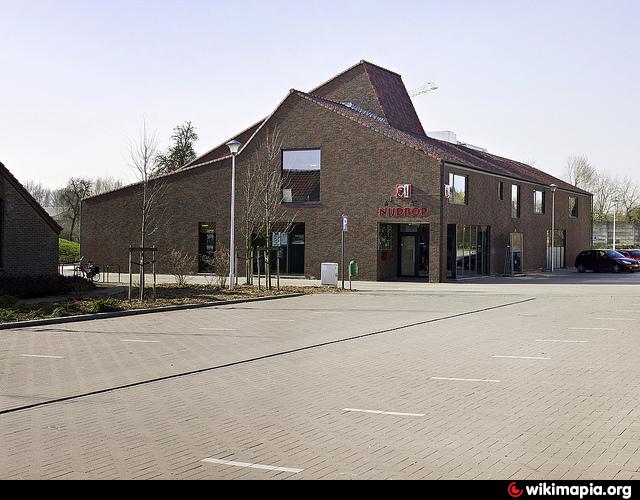
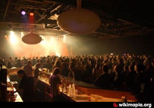
Nijdrop
Belgium /
Flamisch Brabant /
Opwijk /
Kloosterstraat, 9
World
/ Belgium
/ Flamisch Brabant
/ Opwijk
youth club
Add category
Nearby cities:
Coordinates: 50°58'2"N 4°11'11"E
- Het Entrepot 73 km
- Jeugdhuis De Put 79 km
- Frenford Clubs House & Jack Carter Centre 295 km
- Frenford Clubs & Jack Carter Centre Premises 295 km
- Glocksee 413 km
- ehemaliger Youth Center 432 km
- U.S. Army - Askren Manor - Bldg 575 - Youth Activity Center - closed in 2014 437 km
- Castle Feuerstein 512 km
- Göhrde station 517 km
- Youth center Lüchow 526 km
- Nijdrop Parc 0.1 km
- Fire Department Opwijk 0.3 km
- Opwijk (municipality) 0.8 km
- Buggenhoutbos 4.2 km
- Municipal Swimming Pool Lebbeke 4.7 km
- Sport Centre Lebbeke 4.8 km
- Cemetery Lebbeke 5.1 km
- Cultural Centre: "De Biekorf" 5.4 km
- Music School 5.5 km
- Station Lebbeke 5.6 km