Singapur Naal
India /
Maharashtra /
Mahad /
World
/ India
/ Maharashtra
/ Mahad
mountain pass
Add category

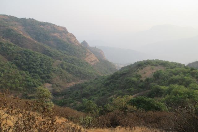


Singapur Naal
Nearby cities:
Coordinates: 18°15'3"N 73°30'35"E
- Kaavlya Ghat 11 km
- Tamhini Ghat 22 km
- Fenyadevi Ghat 81 km
- Nakhind Ghat (नाखिंदा घाट) 82 km
- Ambe Naali chi Waat 89 km
- Thal Ghat / Kasara Ghat 162 km
- Bhavad Bari Ghat 246 km
- Kannad Ghat 285 km
- GHAT ROAD TO VALPARAI 945 km
- Usilampatti pass 1024 km
- Rayling Pathar 0.8 km
- Lingana Fort 0.8 km
- Bimb Naal 1.8 km
- Dapoli 2.4 km
- Fanshichi Naal 2.6 km
- Nisanichi Vaat 3.3 km
- Gaaynal 3.4 km
- Dam 5.6 km
- Velhe Taluka 12 km
- Mahad Taluka 17 km
Comments