Thitu Island (Pag-asa Island), Kalayaan
Philippines /
Southern Tagalog /
Taburi /
World
/ Philippines
/ Southern Tagalog
/ Taburi
World
island
Add category

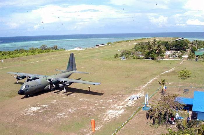
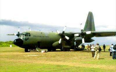
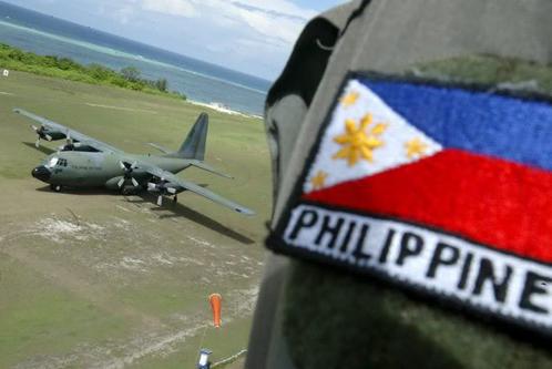
Thitu Island (Tagalog: Pag-asa, literally "hope"; simplified Chinese: 中业岛; traditional Chinese: 中業島; pinyin: Zhōngyè Dǎo; Vietnamese: Đảo Thị Tứ; Pangasinan: Ilalo), having an area of 37.2 hectares (92 acres), is the second largest of the naturally occurring Spratly Islands and the largest of the Philippine-administered naturally occurring Spratly Islands. It lies about 480 kilometres (300 mi) west of Puerto Princesa City. Its neighbours are the North Danger Reef to the north, Subi Reef to the west, and the Loaita and Tizard Banks to the south.
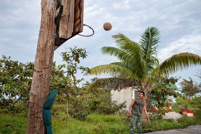
It is covered with trees and has a variety of fauna. It is home to some 300+ civilians (including children) and over 50 soldiers. Other islands are expected to be populated before 2010. Population is regulated to protect the island's flora and fauna and to avoid tension with other countries. It has 1.4 km airstrip, a marina, water filtering plant, power generator and a commercial communications tower (by Smart Communications). The Philippines' Department of Tourism is making improvements to the island to make it profitable.
Barangay Pagasa Island (Poblacion), Municipality of Kalayaan, Province of Palawan, Philippines
Wikipedia article: https://en.wikipedia.org/wiki/Thitu_Island
Nearby cities:
Coordinates: 11°3'11"N 114°17'1"E
- Kalayaan 16 km
- Tizard Bank 70 km
- Jackson Reef 164 km
- Spratly Islands 166 km
- Balabac Island, Palawan 440 km
- Balambangan Island 499 km
- Banggi Island 511 km
- Malawali Island 549 km
- Pulau Jambongan 583 km
- Pulau Timbang 708 km
- Kalayaan 0.5 km
- Loaita Bank 34 km
- Tizard Bank 88 km
- Benitez Reef 118 km
- Union Bank and Reefs 135 km
- Livock Reef 147 km
- Fiery Cross Reef 216 km
- Alison Reef 252 km
- Cornwallis South Reef 260 km
- Cay Marino 284 km
Comments