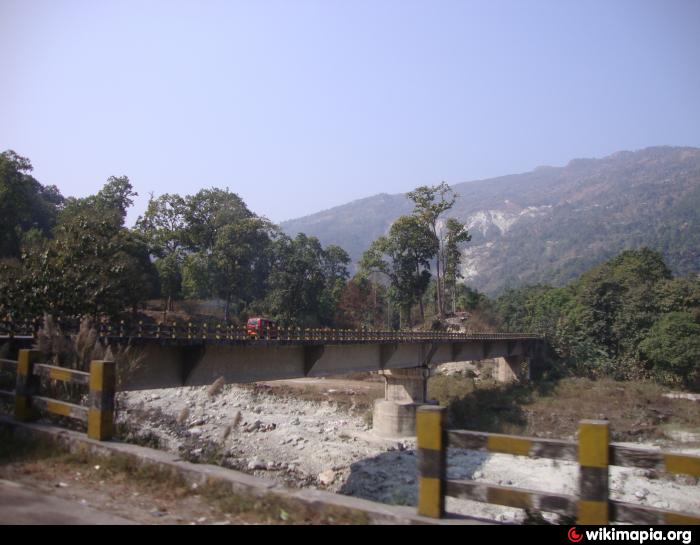
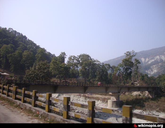
Bridge at 12th Nile - Rangpo Forest (12th Mile - on NH-31A)
India /
Sikkim /
Rangpo /
12th Mile - on NH-31A
World
/ India
/ Sikkim
/ Rangpo
bridge
Add category

Nearby cities:
Coordinates: 27°8'43"N 88°31'46"E
- Rangpo New Bridge 3.6 km
- Kokaley Busty East Sikkim 21 km
- GAMMON BRIDGE 29 km
- Simsore Bridge 43 km
- Dobhan दोभान 94 km
- Hanging Bridge 141 km
- Saga Bridge 222 km
- Bridge 239 km
- Yarlung Ysangpo River Bridge 249 km
- Yarlung Ysangpo River Bridge 269 km
- Reserve Forest 3.5 km
- Sikkim Distilleries Limited 3.7 km
- Burmiak Cinchona Plantation. 3.8 km
- Wai Wai Factory 4.1 km
- Cipla Ltd. - Medicine Factory 4.8 km
- SMU Expansion Site 5.5 km
- Kashyem Cinchona Plantation 5.7 km
- Harrey dara 6.4 km
- ADIT-2 (BHEPP) 6.8 km
- Sikkim 51 km