Kolyvan
Russia /
Novosibirsk /
Kolyvan /
World
/ Russia
/ Novosibirsk
/ Kolyvan
, 0 km from center (Колывань)
World / Russia / Novosibirsk
town, district center

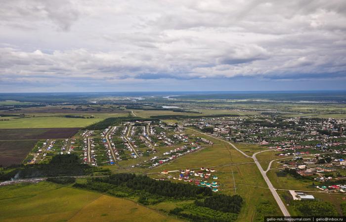
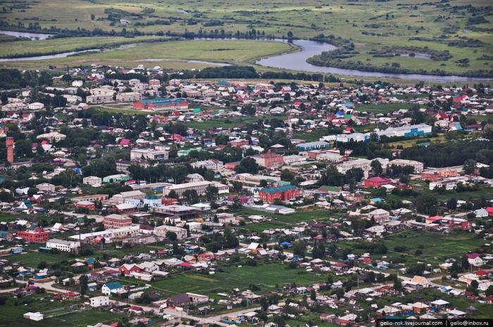
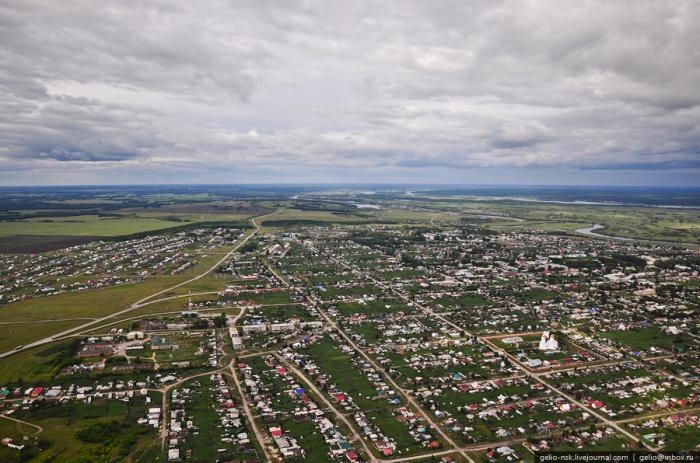
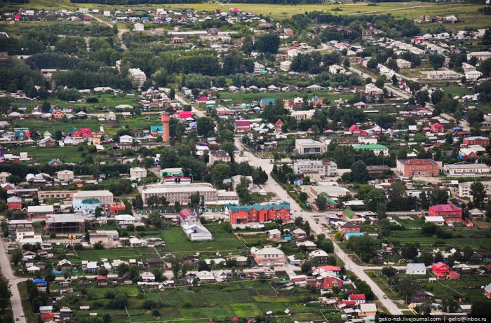
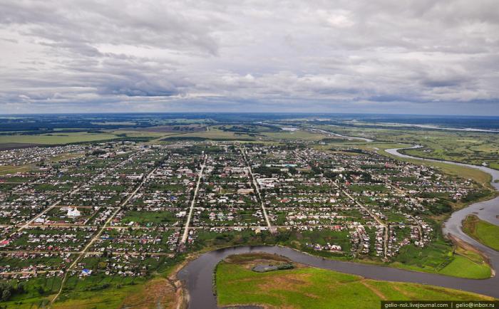
Urban locality (an urban-type settlement) and the administrative center of Kolyvansky District of Novosibirsk Oblast, Russia, located on the Ob River 40 kilometers (25 mi) to the north of Novosibirsk. Population: 11,842 (2010 Census).
Until the 1890s, Kolyvan was the commercial center of the surrounding area. During the construction of the Trans-Siberian Railway in the 1890s, there were plans to route the railroad through Kolyvan and Tomsk. However, Konstantin Garin-Mikhaylovsky, the engineer responsible for routing the railroad in the area, decided that a site at the village of Krivoshchyokovo, some 40 kilometers (25 mi) upstream from Kolyvan, would be much more suitable for bridge construction: that was the only spot within the area where both the river banks and river bed were of solid rock; besides, the Ob floodplain is the narrowest there as way. Despite the protests of Kolyvan and Tomsk merchants, Garin-Mikhailovsky's southern route was approved by Alexander III in 1892. The bridge was built at Krivoshchekovo; the new city of Novo-Nikolayevsk (later renamed Novosibirsk) arose around the bridge, and eventually became Siberia's largest city, meanwhile Kolyvan stagnated.
Until the 1890s, Kolyvan was the commercial center of the surrounding area. During the construction of the Trans-Siberian Railway in the 1890s, there were plans to route the railroad through Kolyvan and Tomsk. However, Konstantin Garin-Mikhaylovsky, the engineer responsible for routing the railroad in the area, decided that a site at the village of Krivoshchyokovo, some 40 kilometers (25 mi) upstream from Kolyvan, would be much more suitable for bridge construction: that was the only spot within the area where both the river banks and river bed were of solid rock; besides, the Ob floodplain is the narrowest there as way. Despite the protests of Kolyvan and Tomsk merchants, Garin-Mikhailovsky's southern route was approved by Alexander III in 1892. The bridge was built at Krivoshchekovo; the new city of Novo-Nikolayevsk (later renamed Novosibirsk) arose around the bridge, and eventually became Siberia's largest city, meanwhile Kolyvan stagnated.
Wikipedia article: http://en.wikipedia.org/wiki/Kolyvan,_Novosibirsk_Oblast
Nearby cities:
Coordinates: 55°18'34"N 82°44'17"E
- Kochenyovo 50 km
- Blagoveshchenka 332 km
- Stepnoye Ozero 339 km
- Karamay 1088 km
- Usu 1215 km
- Qitai (Guchung) 1343 km
- Heshuo County 1479 km
- Yanqi Hui Autonomous County(Karashahr) 1498 km
- Luntai County 1505 km
- Tashidian 1520 km
- ул. Чехова, 25 0.4 km
- Revolutsionny prospekt, 39 0.6 km
- Revolutsionny prospekt, 41 0.6 km
- Cafe 0.6 km
- Revolutsionny prospekt, 76 0.7 km
- Revolutsionny prospekt, 74 0.7 km
- Revolutsionny prospekt, 72 0.7 km
- Moskovskaya ulitsa, 34 0.8 km
- Revolutsionny prospekt, 78 0.8 km
- Радужная ул., 5 1.6 km