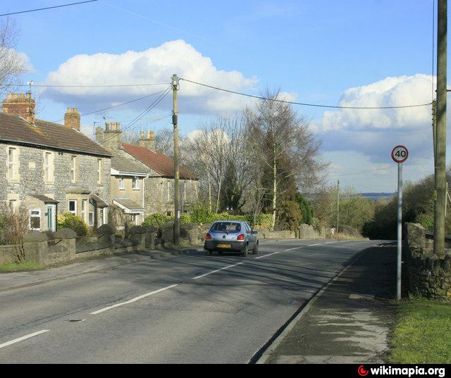
Hobbs Wall (Farmborough)
United Kingdom /
England /
Clutton-Temple Cloud /
Farmborough
World
/ United Kingdom
/ England
/ Clutton-Temple Cloud
Nearby cities:
Coordinates: 51°20'21"N 2°30'7"W
- Hunstrete House Grounds 2.1 km
- Priest Barrow 2.6 km
- Sanderson Stables/Livery 12 km
- Cookswood Quarry (disused) 12 km
- Lords Lot 14 km
- Ebbor Gorge 17 km
- Former County Council Quarry & Repair Depot 17 km
- Launcherly Hill Motocross (Scramble) Track 20 km
- Monaghan Mushroom Farm 20 km
- Velocity Angling Complex 27 km
- Barrow Vale 0.4 km
- Timsbury Workshop Estate 1.2 km
- Mearns Pit ( subsequent hamlet) 1.3 km
- Evidence of shaft mounds in the ploughed field 1.6 km
- Rugbourne Farm 1.9 km
- Timsbury Recreation Ground 2 km
- Wallmead House Farm 2.3 km
- Site of Paulton Basin (Disused) 2.6 km
- Lower Conygre Colliery (Disused) 3 km
- Somerset 42 km