Tollembeek
Belgium /
Flamisch Brabant /
Galmaarden /
World
/ Belgium
/ Flamisch Brabant
/ Galmaarden
village, draw only border
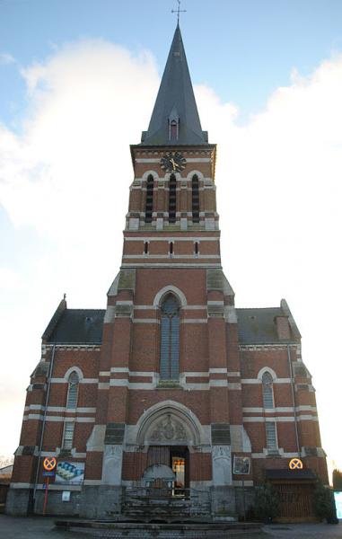
Until the French Revolution Tollembeek belonged to the Land of Enghien and the county of Hainaut. The territory was part of the Herne Forest, which was operated by a steward and six aldermen and several enclaves counted. It came to the Counts of Hainaut in the 9th century and in the 13th century the lords of Enghien. The first mention of Tollembeek dates from 1148 and is then written as Tholobecca. Since the beginning of the 16th century Tollembeek an independent village. In 1976 it merged with Galmaarden.
[source wikipedia.nl]
[source wikipedia.nl]
Nearby cities:
Coordinates: 50°44'34"N 3°59'23"E
- Ninove (municipality) 15 km
- Brakel (municipality) 24 km
- Zottegem (Municipality) 26 km
- Oudenaarde (municipality) 36 km
- Lochristi (Municipality) 47 km
- Lokeren (Municipality) 47 km
- Temse (Municipality) 49 km
- Ghent 50 km
- Sint-Niklaas (Municipality) 52 km
- Evergem (municipality) 57 km
- Station Galmaarden 1.6 km
- Platform 2 1.7 km
- Platform 1 1.7 km
- Area Station Galmaarden 1.7 km
- Fire Department Tollembeek 1.8 km
- Water tower 4.7 km
- Prindal Hout 5.5 km