Vicarage Street Bridge (Nuneaton)
United Kingdom /
England /
Nuneaton /
A444 Vicarage Street
World
/ United Kingdom
/ England
/ Nuneaton
road bridge
Add category

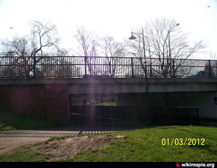
A road bridge that spans over the River Anker and a footpath. It carries over the Vicarage Street (A444) road. Situated underneath the bridge is the Nuneaton’s Gold Belt public sculpture which is displayed a wall.
Nearby cities:
Coordinates: 52°31'15"N 1°27'58"W
- Hermitage Bridge 16 km
- Newton Lane Bridge 17 km
- Shuttington Bridge 18 km
- Cuckoo Bridge 27 km
- Scott Bridge 33 km
- Brasshouse Lane Bridge 34 km
- Heath Lane Bridge 38 km
- Causeway 45 km
- River Penk Bridge 49 km
- M6 Bridge (Number 88A) 49 km
- The Ropewalk Shopping Centre 0.2 km
- Nuneaton Town Centre 0.2 km
- The Parade 0.3 km
- Riversley Park 0.3 km
- Abbey Street Car Park 0.5 km
- Abbey 0.7 km
- St Nicolas 1.7 km
- Wem Brook 1.7 km
- Chilvers Coton 3 km
- Warwickshire 24 km