Fort Napoleon (Ostend)
Belgium /
West-Flandern /
Ostend /
Vuurtorenweg, 1Z
World
/ Belgium
/ West-Flandern
/ Ostend
World / Belgium / Vlaanderen / West-Vlaanderen / Oostende
museum, fortification, interesting place, listed building / architectural heritage, closed / former military, military museum
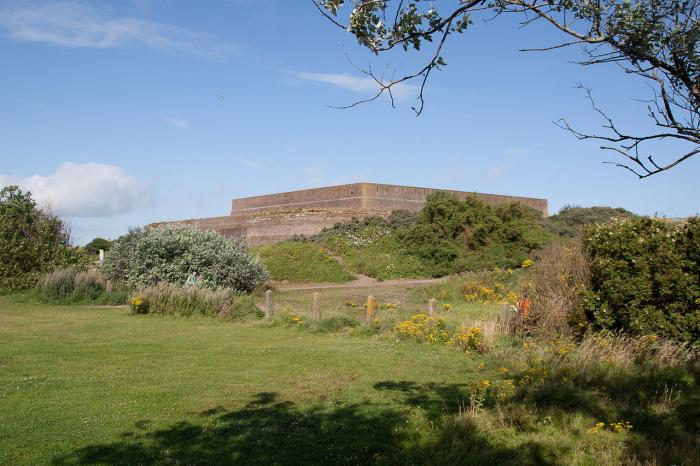
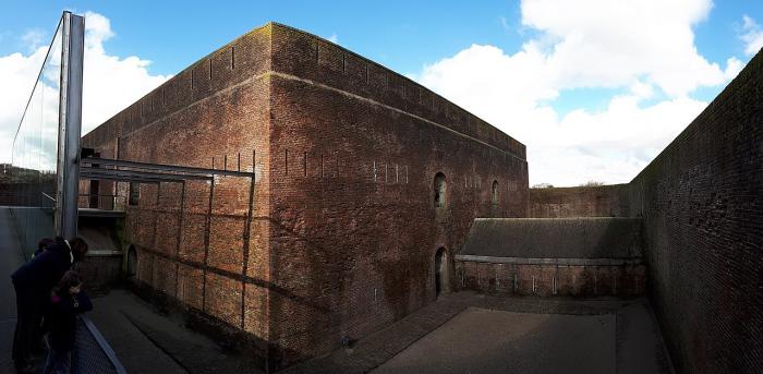
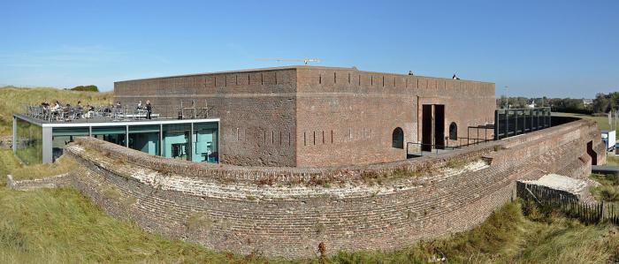
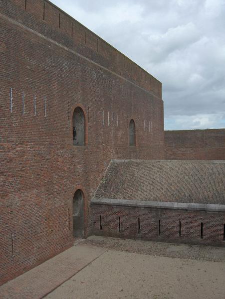
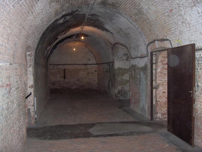
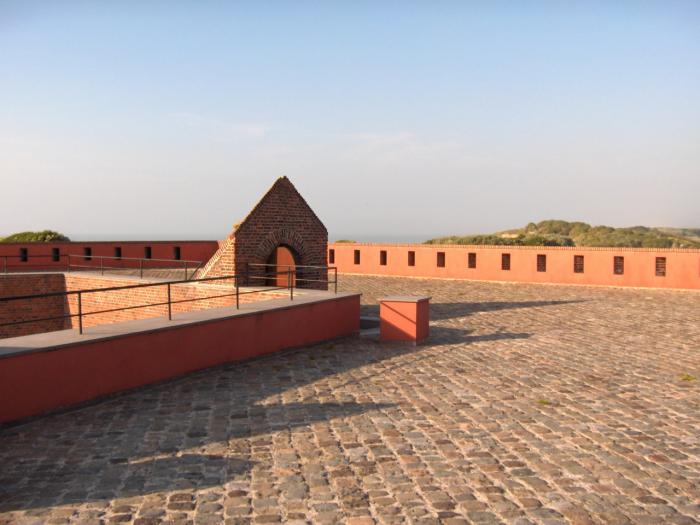
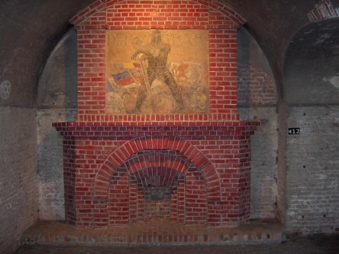
Fort Napoleon was built between 1810 and 1814 to protect the entrance of the harbour of Ostend. It was used during WWI as headquarters by the German troops.
Wikipedia article: http://en.wikipedia.org/wiki/Fort_Napoleon,_Ostend
Nearby cities:
Coordinates: 51°14'20"N 2°56'3"E
- MKB Hundius 0.3 km
- Artillery battery "Halve Maan" 0.6 km
- Feldbatterie "Stutzpunkt Stene" 4.4 km
- pond 4.4 km
- Atlanticwall 7.4 km
- Fuel storage bunkers 20 km
- Castle "De Spijker" 23 km
- Fortress of Sluis (1604) 32 km
- Olieschans fort 35 km
- Ramparts of the old fortifications of Aardenburg 36 km
- Fortstraat residential area 0.4 km
- Fishers' Port 0.7 km
- Montgomerydok 1 km
- Port of Ostend 1.1 km
- Klein Strand 1.1 km
- Old City Center 1.4 km
- Albert I-Promenade 1.6 km
- Vuurtorenwijk 2.3 km
- Bredene (municipality) 3 km
- Bredene nude beach 4.2 km