Araldarya
Uzbekistan /
Korakalpogiston /
Moynoq /
World
/ Uzbekistan
/ Korakalpogiston
/ Moynoq
urochishte (stow), inlet, strait / channel / passage / narrows
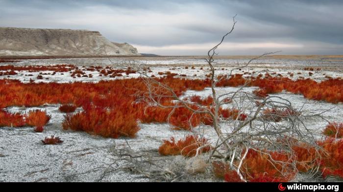
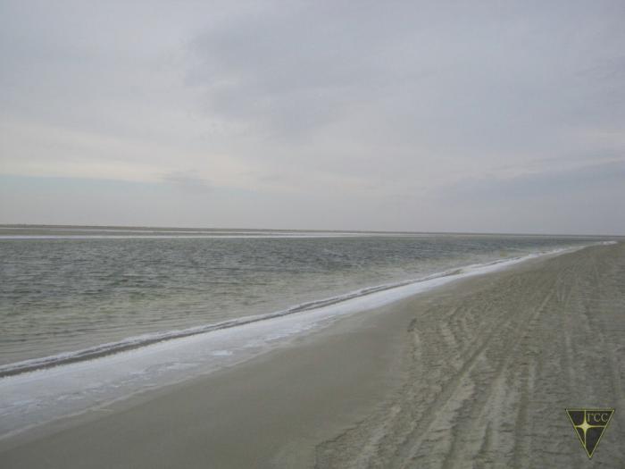
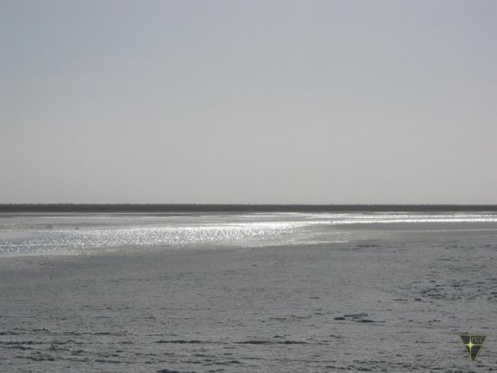
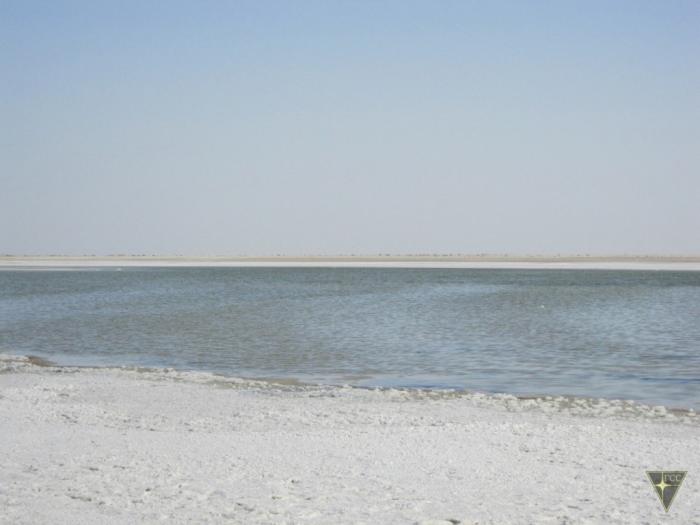
In 2003, the South Aral Sea was divided into eastern and western parts (East Sea and West Sea), and six years later the western part is completely dried up, and a year later again filled with melt water from the Amu Darya. The prospects once the Big Aral Sea shore is covered with giant salt crystals resemble alien landscape, estimated by experts extremely skeptical - they estimated that this part of the sea eventually become a salty puddle, and then dissolved and all among the new salt sands of the desert, known as Aralkum .
Nearby cities:
Coordinates: 45°46'22"N 59°17'11"E
- scuba track 48 km
- Berg channel between North and South Aral 113 km
- Garabogazköl Strait 732 km
- Strait Uzynaral 1242 km
- The tract Kulandy 20 km
- scuba track 48 km
- Barsa-Kelmes former island 52 km
- Aralsk-7 (Barkhan)- military training to the test biological weapons. 71 km
- Baral Sy Lake 74 km
- Western Aral Sea 75 km
- Vozrozhdeniya Island 76 km
- East Aral Lake 76 km
- Ancient rice fields 78 km
- Island 79 km