Valley of the Gods
USA /
Utah /
Mexican Hat /
FR 242 Valley of the Gods Trail
World
/ USA
/ Utah
/ Mexican Hat
World / United States / Utah
valley, interesting place, stone/rock feature
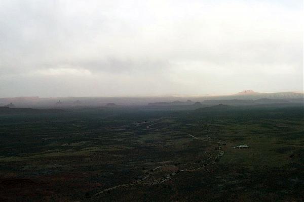
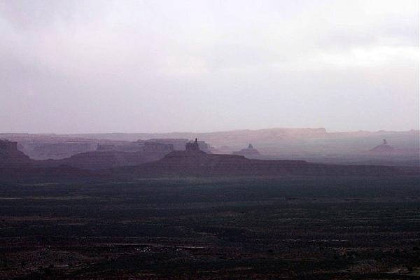
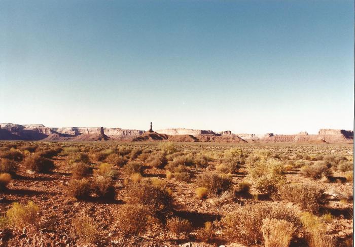
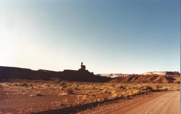
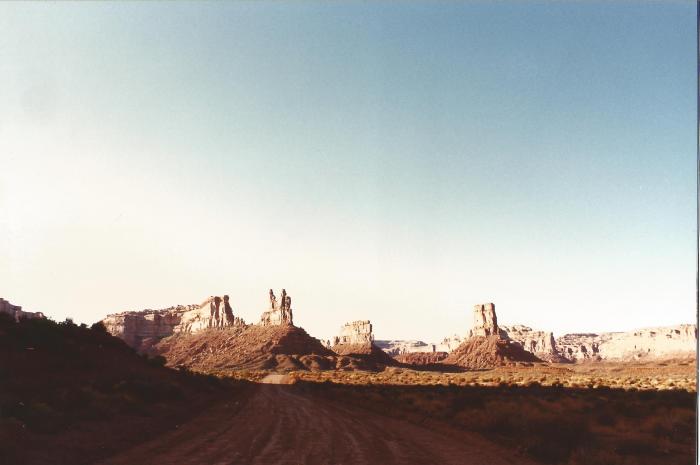
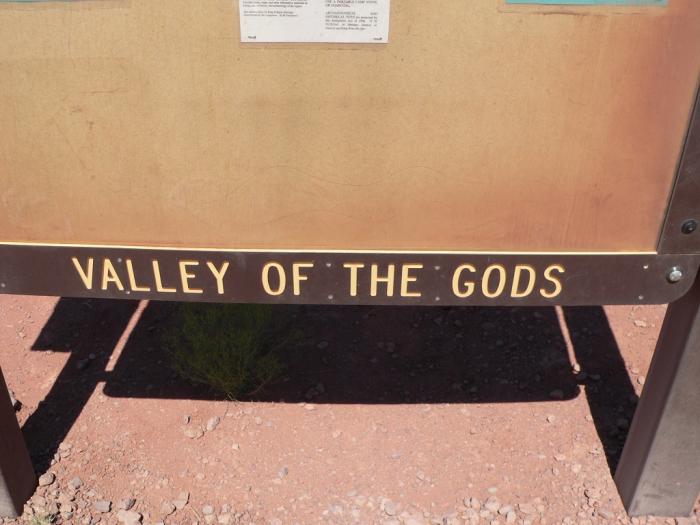
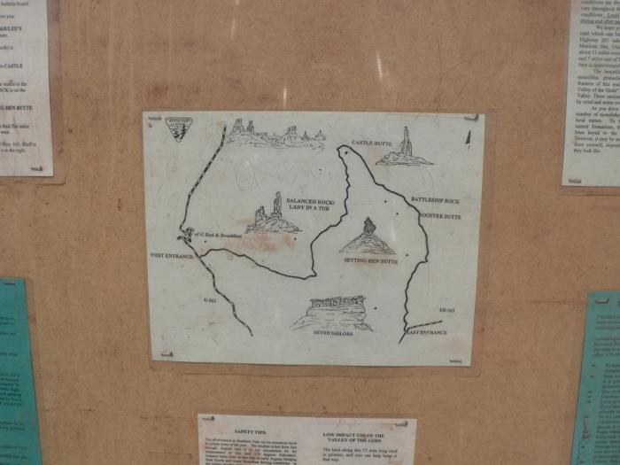
A scenic sandstone valley with similar rock formations to Monument Valley, albeit on a smaller scale, with tall, red, isolated mesas, buttes, and cliffs standing above the level valley floor, remnants of an ancient landscape. It may be toured via the 17-mile (27 km) gravel road (FR 242) and various off-road dirt trails. The valley is not a park, but public land managed by the Bureau of Land Management. There are no services in the valley, except for a bed-and-breakfast located near the western end of FR 242. -Adapted from Wikipedia.
shallowsky.com/images/anasazi/valleygods/
shallowsky.com/images/anasazi/valleygods/
Wikipedia article: http://en.wikipedia.org/wiki/Valley_of_the_Gods
Nearby cities:
Coordinates: 37°16'33"N 109°51'50"W
- Paradise Valley 427 km
- Growler Valley 616 km
- Diamond Valley 629 km
- Grass Valley 686 km
- Death Valley National Park 688 km
- Coachella Valley 713 km
- Dixie Valley 799 km
- Smoke Creek Desert 942 km
- Cuyama Valley 949 km
- Anderson Valley 1216 km
- Battleship Rock, Valley of the Gods Utah 2.9 km
- Franklin butte, Valley of the Gods Utah 3.5 km
- Rooster Butte, Valley of the Gods Utah 4.7 km
- De Gaulle & his troops, Valley of the Gods Utah 5.3 km
- Moki Dugway 6.7 km
- Sugarloaf 9 km
- Muley Point Cubes 11 km
- Dry Oxbow of the San Juan River 13 km
- Goosenecks State Park 13 km
- Comb Ridge 21 km
Comments