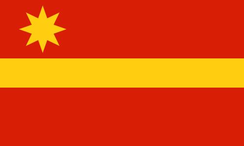
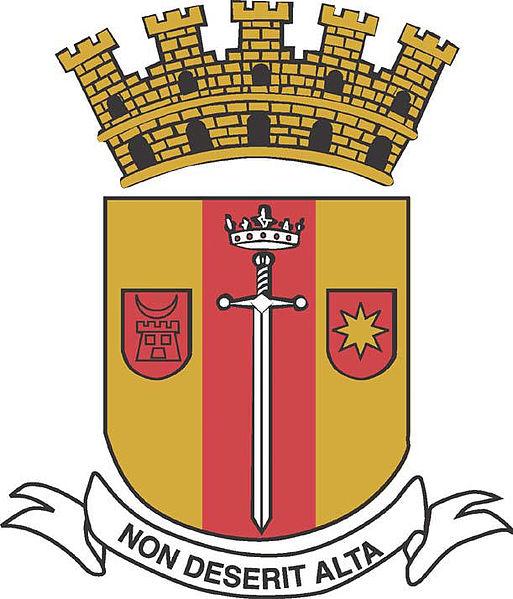
Toa Alta
Puerto Rico /
Bayamyn /
Toa Alta /
World
/ Puerto Rico
/ Bayamyn
/ Toa Alta
World / Puerto Rico
city, municipality
Toa Alta is a municipality of Puerto Rico located in the northern coast of the island, north of Naranjito; south of Dorado and Toa Baja; east of Vega Alta and Corozal; and west of Bayamón. Toa Alta is spread over eight wards and Toa Alta Pueblo (the downtown area and the administrative center of the city). It is part of the San Juan-Caguas-Guaynabo Metropolitan Statistical Area.
Wikipedia article: https://en.wikipedia.org/wiki/Toa_Alta,_Puerto_Rico
Nearby cities:
Coordinates: 18°21'31"N 66°15'29"W
- Ponce 51 km
- Utuado 61 km
- Boa Vista 1817 km
- Oiapoque (municipality) 2220 km
- Calçoene 2358 km
- Amapá 2460 km
- Ferreira Gomes 2529 km
- Cutias 2542 km
- Macapá 2585 km
- Santana 2588 km
- Galateo 0.8 km
- Villas del Toa 3.5 km
- Río Lajas 4.1 km
- Río Lajas 4.3 km
- Plaza de la Fuente 4.5 km
- San José 4.6 km
- Jardines de la Fuente 4.8 km
- Las Cascadas 5.3 km
- Candelaria 6.5 km
- Media Luna 7.1 km