AT&T Underground Cold War Network "Stanfield" (Stanfield, North Carolina)
USA /
North Carolina /
Stanfield /
Stanfield, North Carolina /
Love Mill Road, 8670
World
/ USA
/ North Carolina
/ Stanfield
World / United States / North Carolina
Cold War 1947-1991, telecommunication, microwave tower / microwave transmission, repeater station, underground station, underground facility, cell site / cell tower, underground station entrance / exit
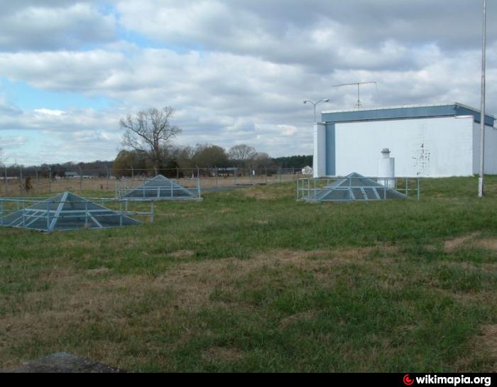

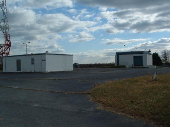
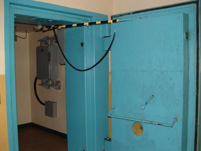
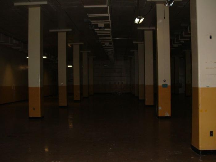
Part of the underground hardened coaxial communications network built during the Cold War. Serves both microwave relay and co-ax trunks with an underground facility for the switching equipment.
w4dex.com/gallery/ATT_L4_Main_Stanfield_NC
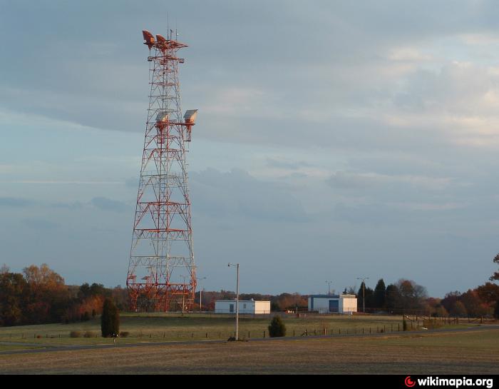
Antenna Structure
Structure Type: Free standing or guyed structure
Location
Latitude / Longitude: 35.216028 / -80.432361
Street: 8670 Love Mill Rd. (088661 / Stanfield Nc)
City, State: Stanfield, NC
Height
Overall Height Above Ground: 87.2 meters
Overall Height Above Ground Without Appurtenances: 87.2 meters
Elevation of Site Above Mean Sea Level: 169.8 meters
Overall Height Above Mean Sea Level: 257.0 meters
w4dex.com/gallery/ATT_L4_Main_Stanfield_NC
Antenna Structure
Structure Type: Free standing or guyed structure
Location
Latitude / Longitude: 35.216028 / -80.432361
Street: 8670 Love Mill Rd. (088661 / Stanfield Nc)
City, State: Stanfield, NC
Height
Overall Height Above Ground: 87.2 meters
Overall Height Above Ground Without Appurtenances: 87.2 meters
Elevation of Site Above Mean Sea Level: 169.8 meters
Overall Height Above Mean Sea Level: 257.0 meters
Nearby cities:
Coordinates: 35°12'56"N 80°25'56"W
- Brookdale Cell Site 191 km
- Transmitter Tower 263 km
- Radio Site 335 km
- Transmitter Tower 336 km
- Transmitter Tower 344 km
- Cell Tower 348 km
- Radio Site 359 km
- cell tower 369 km
- Verizon Wireless cell tower 370 km
- Transmitter Tower 386 km
- Reed Gold Mine 8.2 km
- Cabarrus County, North Carolina 18 km
- Stanly County, North Carolina 19 km
- Aquadale, North Carolina 19 km
- Union County, North Carolina 26 km
- Stanly County Airport (VUJ) 34 km
- Badin Lake 39 km
- Anson County, North Carolina 39 km
- Uwharrie National Forest 48 km
- Montgomery County, North Carolina 50 km