Dudinga
Azerbaijan /
Serur /
World
/ Azerbaijan
/ Serur
/ Serur
World / Azerbaijan
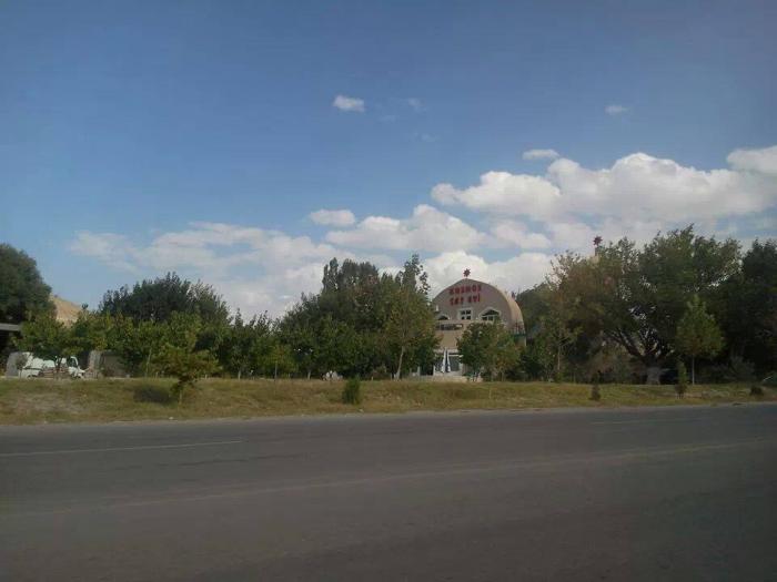
town, historic city center

Old Armenian village of Dudinga founded at pre Chistian era. At 1910 there was Armenian massacres and the village was emptied of Armenians. Newcomer Caucasian Tatar population (that since the 1936 known as Azeris) renamed this willage to Jalilkend. At 1993 the village get back the old name but altered to Turkish transcription that sounds like Dudenge.
Nearby cities:
Coordinates: 39°34'36"N 44°59'40"E
- Doğubayazıt 84 km
- Charentsavan 106 km
- Yeghvard 109 km
- Patnos (Panos) 191 km
- Ahlat 240 km
- Bitlis (Bidlîs) 279 km
- Barwari 297 km
- Silopi 341 km
- Aydıntepe 430 km
- Demirözü 444 km
- Sharur District 8.4 km
- Sharur plain 8.7 km
- Wolf's Gate mountain pass 11 km
- GHara Bilagh lake 15 km
- Dagna mt. 15 km
- Sadarak District 17 km
- Siyahgan Volcanic Field 26 km
- Hesaar plateau 29 km
- Nakhchivan Autonomous Republic 49 km
- Ararat valley 74 km