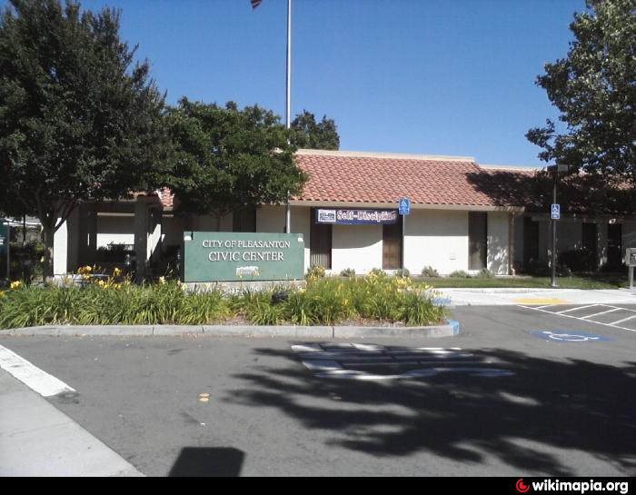
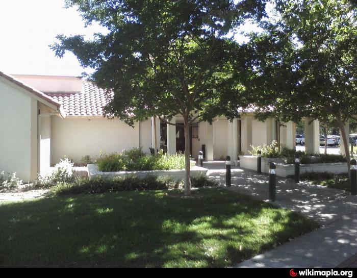
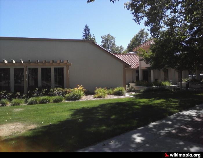
Pleasanton City Hall (Pleasanton, California)
USA /
California /
Pleasanton /
Pleasanton, California /
Old Bernal Avenue, 200
World
/ USA
/ California
/ Pleasanton
World / United States / California
city hall
Add category
Wikipedia article: http://en.wikipedia.org/wiki/Pleasanton,_California
Nearby cities:
Coordinates: 37°39'29"N 121°52'43"W
- Santa Clara Civic Center 34 km
- Menlo Park Civic Center 35 km
- San Juan Unified School District 118 km
- Folsom Civic Center 130 km
- Redding Civic Center 328 km
- Malibu Civic Center Area 494 km
- Van Nuys Civic Center 495 km
- Eastern Municipal Water District 606 km
- West Wendover City Offices 755 km
- Civic Center - Government Offices 806 km
- Pleasanton Middle School 0.6 km
- Pleasanton Golf Center 0.7 km
- Pleasanton Race Track 0.7 km
- Alameda County Fairgrounds 1 km
- Amador Valley High School 1.2 km
- KB Homes 1.4 km
- Amador Valley Community Park 1.7 km
- Pleasanton Sports & Recreation Park 2.8 km
- Quarry Lake 3.8 km
- Pleasanton Ridge Regional Park 6.1 km