Jabal Sanam, Iraq
Iraq /
al-Basrah /
az-Zubayr /
World
/ Iraq
/ al-Basrah
/ az-Zubayr
, 22 km from center (الزبير)
World / Iraq / Al-Basrah
mountain, hill, geodetic point
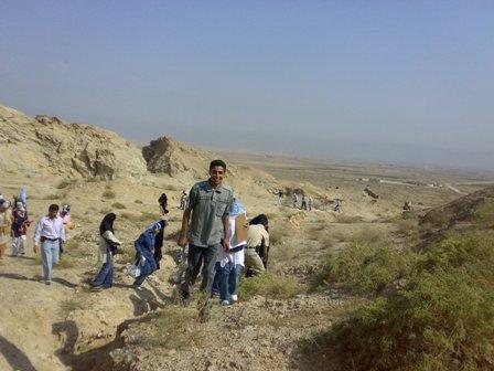
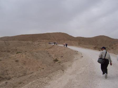
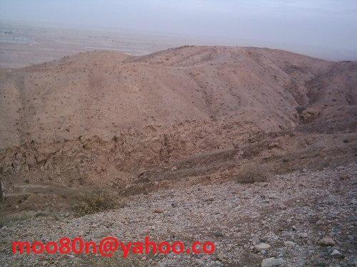
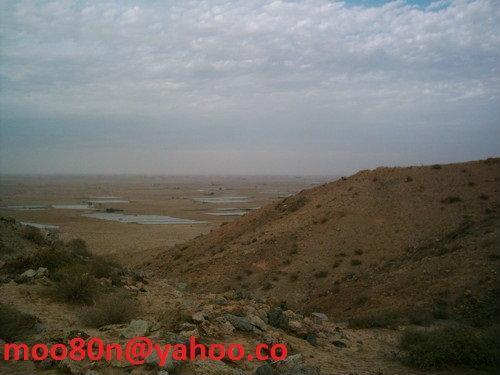
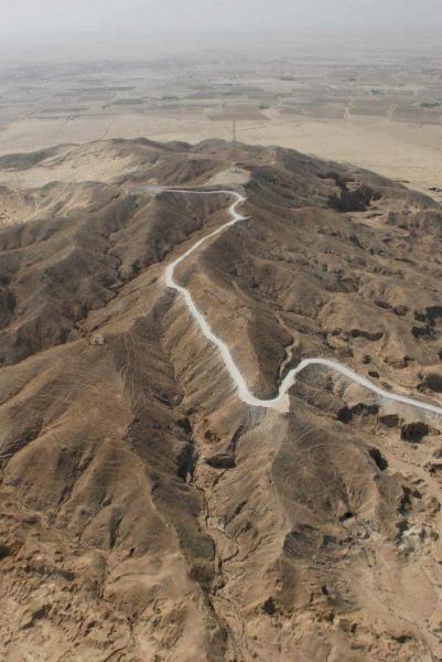
Jabal Sanam is a salt plug atop a salt dome.
Nearby cities:
Coordinates: 30°7'31"N 47°37'29"E
- Alzubna Hill 515 km
- Panjeye Rıg-e Jenn Desert (The walls of the five sand Dunes) 709 km
- Hezarpa Hills 786 km
- Khorshid The Rainbow Landscape 812 km
- cheshm2 817 km
- cheshm1 826 km
- Jangal-e tape Lut Lansdcape 974 km
- Garuki Hills 1719 km
- Bhat Koh/Bhat Hills 1773 km
- Kajīr Marko Hill Station 1882 km
- Electricity Pylon 6.7 km
- Electricity Pylon 15 km
- LSTP 15 km
- Our petrofac project 15 km
- Alghanim International Camp Abdaly LFHO 15 km
- Ratqa 2 16 km
- Electricity Pylon 16 km
- HV S 17 km
- LFHOD PROJECT KUWAIT NBTC 18 km
- South Rumaila 27 km