Severns' Building (Nottingham)
United Kingdom /
England /
West Bridgeford /
Nottingham /
Castle Road
World
/ United Kingdom
/ England
/ West Bridgeford
World / United Kingdom / England
house, Grade II Listed (UK)
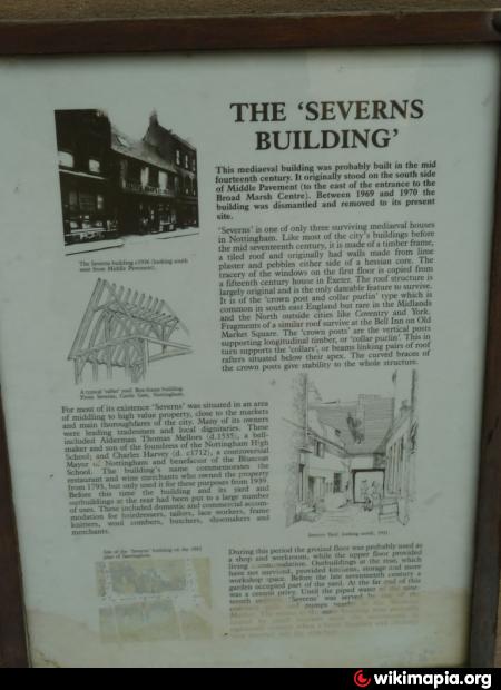
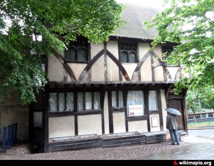
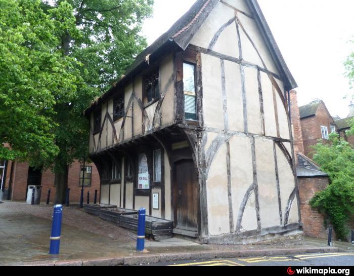
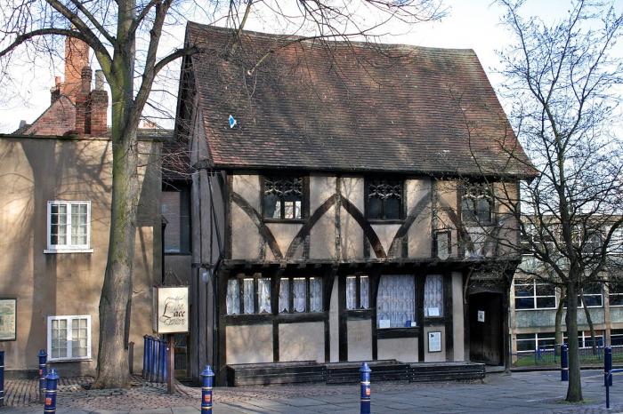
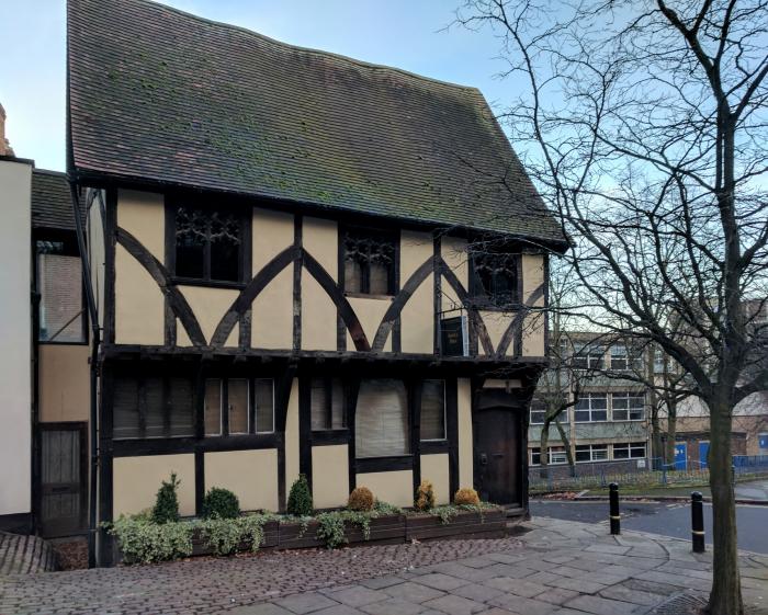
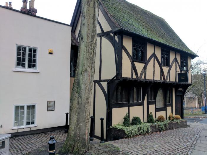
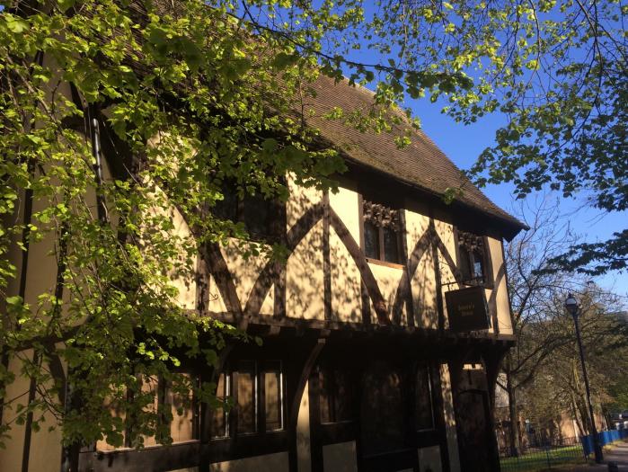
A Grade II listed building that had been used as The Lace Centre. Built in the mid Fourteen century, it originally stood on the south side of Middle Pavement (to the east of the entrance to the Broad Marsh Centre), the building was dismantled and moved to the present site between 1969-1970.
www.britishlistedbuildings.co.uk/en-455800-severns-buil...
www.britishlistedbuildings.co.uk/en-455800-severns-buil...
Nearby cities:
Coordinates: 52°57'1"N 1°9'10"W
- Nottingham Castle 0.2 km
- Park Road, 66-68 1 km
- Harlaxton Drive, 150-152 1 km
- Harlaxton Drive, 149-151 1 km
- Harlaxton Drive, 14 1.1 km
- Harlaxton Drive, 16 1.1 km
- Harlaxton Drive, 12D-12C 1.2 km
- Harrington Drive, 3 1.2 km
- Meadowbank House 1.2 km
- Harrington Drive, 11 1.2 km
- Castle Green and 'Lookout!' Play Area 0.2 km
- NCP Nottingham Mount Street 0.3 km
- Thomson Reuters 0.4 km
- Citygate 0.5 km
- The Park Estate 0.5 km
- Nottingham Playhouse 0.5 km
- Roundabout 0.5 km
- Crowne Plaza 0.6 km
- Nottingham City Centre 0.6 km
- Radford 2 km
Comments