Chastre (municipality)
Belgium /
Brabant Wallon /
Mont-Saint-Guibert /
World
/ Belgium
/ Brabant Wallon
/ Mont-Saint-Guibert
World / Belgium / Wallonie / Brabant Wallon / Nivelles
municipality, draw only border
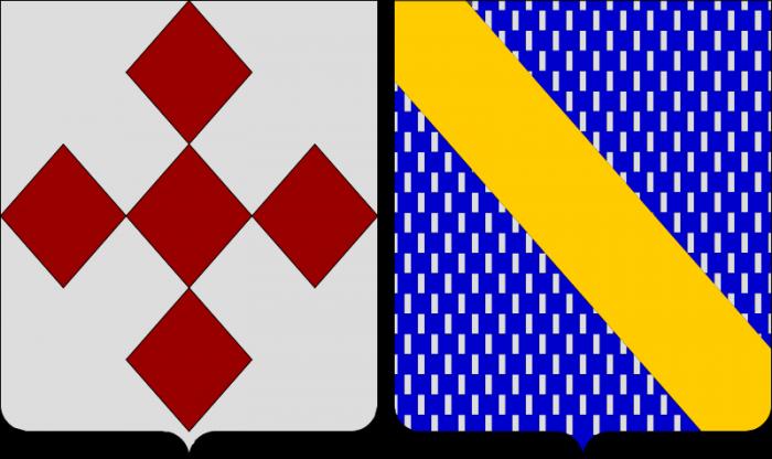
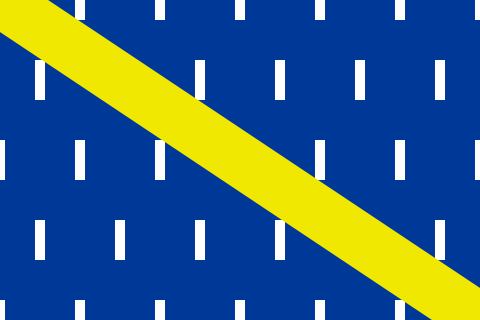
Chastre (Walloon: Tchåsse) is a municipality located in the Belgian province of Walloon Brabant. On January 1, 2006, Chastre had a total population of 6,734. The total area is 31.27 km² which gives a population density of 215 inhabitants per km².
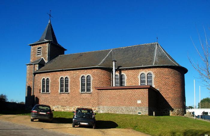
The villages in the municipality are Chastre, Villeroux, Blanmont, Cortil, Noirmont, Gentinnes, and Saint-Géry.
The villages in the municipality are Chastre, Villeroux, Blanmont, Cortil, Noirmont, Gentinnes, and Saint-Géry.
Wikipedia article: https://en.wikipedia.org/wiki/Chastre
Nearby cities:
Coordinates: 50°36'2"N 4°37'22"E
- Genappe (municipality) 19 km
- Philippeville (Municipality) 42 km
- Doische (Municipality) 44 km
- Beaumont (municipality) 47 km
- Beauraing (Municipality) 50 km
- Viroinval (Municipality) 55 km
- Chimay (Municipality) 61 km
- Gedinne 62 km
- Momignies 69 km
- Vresse-sur-Semois (municipality) 76 km
- Station Gembloux - Gare de Gembloux 5.7 km
- Agronomical University of Gembloux. 6.7 km
- Bois Jacques Rondeux 7.3 km
- Bois de Chenémont 8.5 km
- Bois de Buis 8.7 km
- Bois d'Alloy 9 km
- Bois des Renards 10 km
- Bois de Bordeau 10 km
- Bois du Pèquet 11 km
- Bois d'Hermoye 11 km