Newtown Bridge (Nuneaton)
United Kingdom /
England /
Nuneaton /
A444 Newtown Road
World
/ United Kingdom
/ England
/ Nuneaton
World / United Kingdom / England
bridge, road bridge
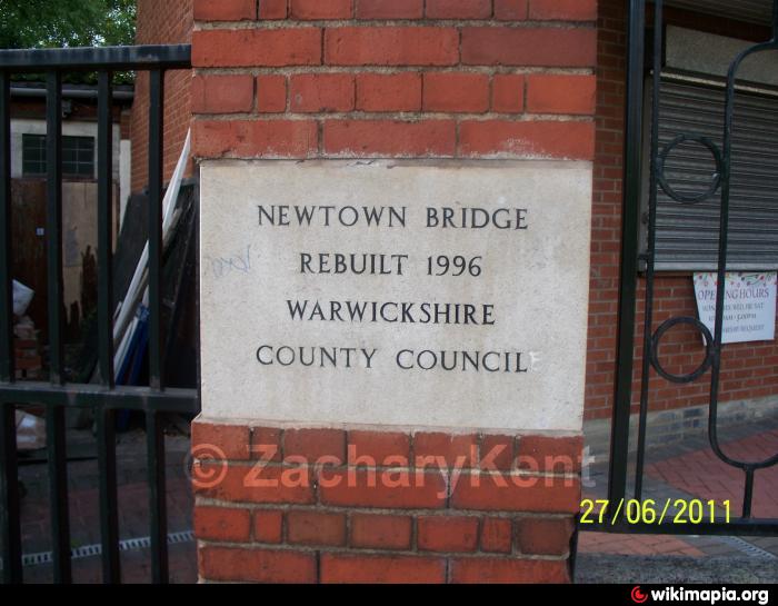
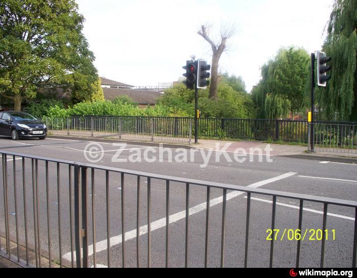
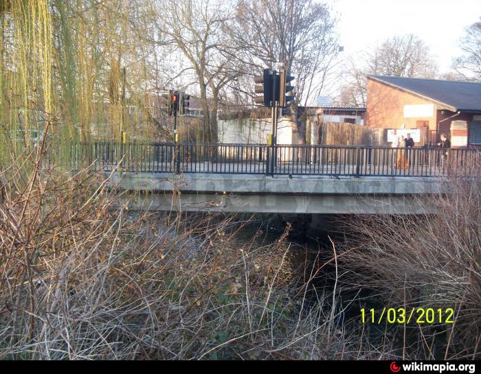
Newtown Bridge is a road bridge situated outside the town centre, it spans over the River Anker while it carries over the Newtown Road (A444). In 1996 it was rebuilt by the Warwickshire County Council.
Nearby cities:
Coordinates: 52°31'30"N 1°27'57"W
- Coton Arches 1.2 km
- Hilltop Footbridge 1.5 km
- Pauls Land Railway Footbridge 2.6 km
- Railway Bridge LEC2/53 4.8 km
- Hermitage Bridge 15 km
- Shuttington Bridge 17 km
- Newton Lane Bridge 17 km
- Bolebridge Viaduct 19 km
- Hopwas Bridge 22 km
- Rail Bridge over the River Tame 23 km
- Weddington Industrial Estate 0.3 km
- Nuneaton Town Centre 0.3 km
- St Mary's Road Depot 0.4 km
- Abbey 0.5 km
- Abbey Green 0.6 km
- Weddington (suburb) 1.2 km
- St Nicolas 1.6 km
- Weddington 1.7 km
- Attleborough 2.1 km
- Warwickshire 24 km