Passendale
Belgium /
West-Flandern /
Zonnebeke /
World
/ Belgium
/ West-Flandern
/ Zonnebeke
World / Belgium / Vlaanderen / West-Vlaanderen / Ieper
village, battlefield, First World War 1914-1918, draw only border

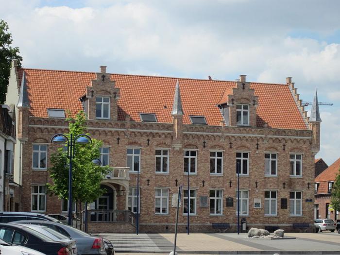
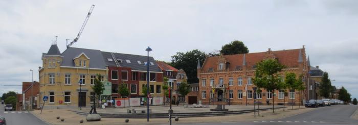
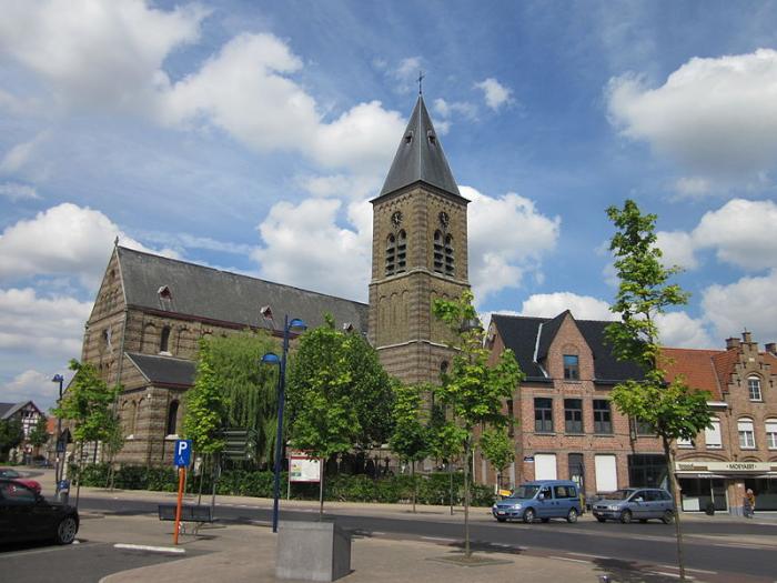
Passendale (Dutch pronunciation: [ˈpɑsə(n)daːlə]) or Passchendaele (obsolete spelling, retained in English) is a rural Belgian village in the Zonnebeke municipality of West Flanders province. It is close to the town of Ypres, situated on the hill ridge separating the historical wetlands of the Yser and Leie valleys. It is also commonly known as a battlefield and the name of a campaign during World War I, the Battle of Passchendaele.
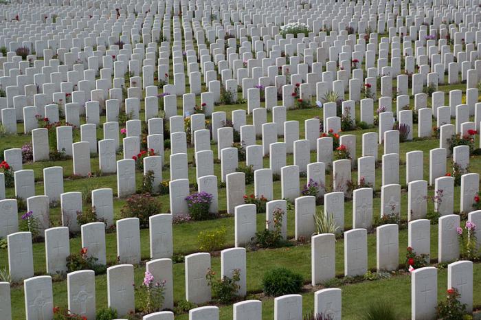
The 1917 Battle of Passchendaele, also known as the Third Battle of Ypres or simply Third Ypres, was one of the major battles of World War I, fought by British, ANZAC and Canadian soldiers against the German army near Ypres (Ieper in Flemish) in West Flanders, northwestern Belgium over the control of the village of Passchendaele. As the village is now known as Passendale, the term Passchendaele alone is now used to refer to this battle. The label "Passchendaele" should properly apply only to the battle's later actions in October–November 1917, but has come to be applied also to the entire campaign from July 31. After three months of fierce fighting, the Canadian Corps took Passchendaele on November 6, 1917, ending the battle. Passendale today forms part of the community of Zonnebeke, Belgium.
The 1917 Battle of Passchendaele, also known as the Third Battle of Ypres or simply Third Ypres, was one of the major battles of World War I, fought by British, ANZAC and Canadian soldiers against the German army near Ypres (Ieper in Flemish) in West Flanders, northwestern Belgium over the control of the village of Passchendaele. As the village is now known as Passendale, the term Passchendaele alone is now used to refer to this battle. The label "Passchendaele" should properly apply only to the battle's later actions in October–November 1917, but has come to be applied also to the entire campaign from July 31. After three months of fierce fighting, the Canadian Corps took Passchendaele on November 6, 1917, ending the battle. Passendale today forms part of the community of Zonnebeke, Belgium.
Wikipedia article: http://en.wikipedia.org/wiki/Passendale
Nearby cities:
Coordinates: 50°54'0"N 3°1'23"E
- Polygon wood 5.7 km
- Quarters Bos van Houthulst (EOD) (Houthulst Forest) 10 km
- Memorial Site, Hill 60 11 km
- Caterpillar 11 km
- Bedford House Cemetery CWGC 12 km
- The Bluff 12 km
- Battle of Messines WWI 15 km
- The Trench of Death 21 km
- Paardenmarkt WWI depot 54 km
- Fortress Liezele 90 km
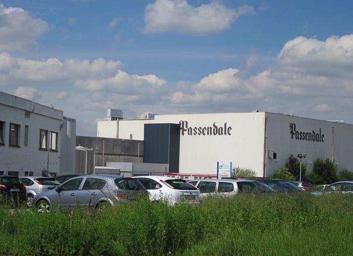
- Pasfrost 1.8 km
- Zonnebeke (municipality) 4.2 km
- Moorslede (municipality) 4.5 km
- Vijfwegen 6.2 km
- REO Veiling 7.6 km
- Sint Idesbald Institute 8.2 km
- Sterrebos 8.4 km
- Moorsele Airfield 10 km
- Wervik (municipality) 10 km
- Wevelgem (municipality) 13 km