Plateliai eldership
| third-level administrative division
Lithuania /
Telsiu /
Plunge /
World
/ Lithuania
/ Telsiu
/ Plunge
World / Lithuania / Telšiai
eldership, invisible, third-level administrative division
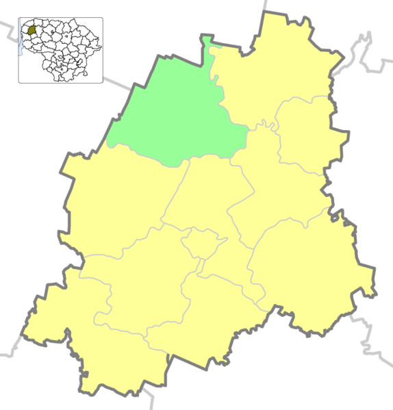
Located in Plungė district municipality, covers area of 136,5 km². Divided into 7 sub-elderships. Administrative center - Plateliai town, there are 24 settlements in the eldership.
Wikipedia article: http://en.wikipedia.org/wiki/Plateliai_eldership
Nearby cities:
Coordinates: 56°3'44"N 21°47'28"E
- Seda eldership 25 km
- Šerkšnėnai eldership 33 km
- Ylakiai eldership 36 km
- Tirkšliai eldership 38 km
- Žalgiris eldership 39 km
- Skuodas eldership 39 km
- Mažeikiai rural eldership 40 km
- Židikai eldership 42 km
- Darbėnai eldership 43 km
- Kretinga eldership 44 km
- Žemaitija National Park 6 km
- Notėnai eldership 7.5 km
- Plungė district municipality 12 km
- Salantai regional park 14 km
- Mosėdis eldership 19 km
- Skuodas district municipality 21 km
- Skuodas eldership 25 km
- Kretinga district municipality 28 km
- Northwest Samogitian moraine plain 29 km
- Lenkimai eldership 31 km