M'maljir
Morocco /
Souss Massa-Draa /
Tinghir /
World
/ Morocco
/ Souss Massa-Draa
/ Tinghir
, 72 km from center (تنغير, تينغير)
World / Morocco / Meknès - Tafilalet / Errachidia / Imilchil
water tower
Add category
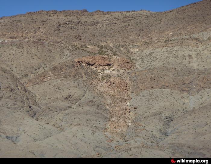
château de l'eau potable d'outerbat.
Nearby cities:
Coordinates: 32°9'8"N 5°21'53"W
- chateau d'eau 143 km
- water tower 144 km
- Chateau d'eau 214 km
- CHATEAU TAMESNA 237 km
- Château d'eau 255 km
- Chateau d'eau 298 km
- Watertower * Depósito da água - Pegões 784 km
- Water Towers 797 km
- Water tower 1705 km
- Reservatório - Water Depot 2605 km
- Ari n' Lest 5.1 km
- Azaghar-Rirs 7.2 km
- "Park of the Barbary sheeps" 7.5 km
- Ari n'Fazzaf 11 km
- Ari n' Aberdouz 14 km
- Ari n' Msadrid 15 km
- Ari n' Issoual 17 km
- Ari n'Ouirarassen 18 km
- Izlan 22 km
- Arhembou n'Ououzz 40 km