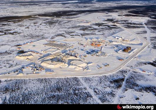
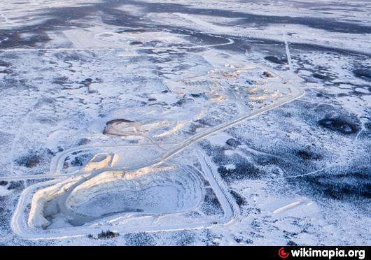
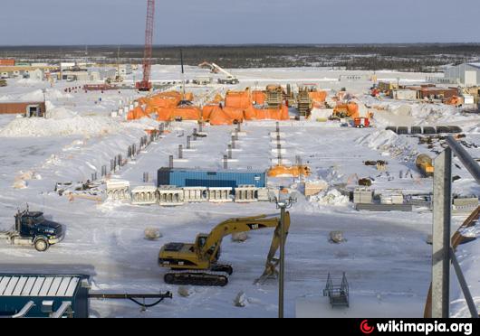
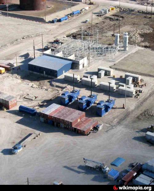
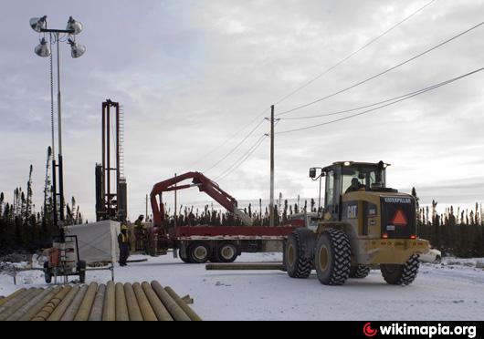
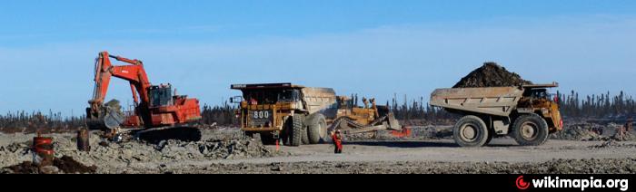
Victor Project (Diamond mine)
Canada /
Ontario /
Attawapiskat /
World
/ Canada
/ Ontario
/ Attawapiskat
World
mine, diamond mine

Diamond mine (Victor Project)
Location: 52° 49’ 15” latitude, 83° 53’ 00” longitude, approximately 90 kilometres west of the First Nation community of Attawapiskat in northeastern Ontario
Mine Area: Victor kimberlite has a surface area of 15 hectares
Annual tonne processing capacity: 2.7 million tonnes
Annual carat production capacity: 600,000 carats
Website: www.debeerscanada.com/files_3/victor-mine.php
Nearby cities:
Coordinates: 52°29'25"N 83°31'48"W
- Victor Diamond Mne 51 km
- Noront VMS Discovery 188 km
- Detour Lake Property (Ont.) 370 km
- Detour-Lake Gold Mine (Ont) 377 km
- Detour Open Pit 381 km
- Selbaie Mine 435 km
- Casa Berardi Mine 436 km
- West Mine 439 km
- East Mine 442 km
- Lac des Iles Mine 567 km
- Victor Diamond Mne 46 km
- Akimiski Island 155 km
- Opinnagau Lake (West) 168 km
- Polar Bear Provincial Park 247 km
- North Twin Island 254 km
- South Twin Island 257 km
- Solomons Temple Islands 296 km
- Paint Hills Islands 311 km
- Long Island 379 km
- Belcher Islands 492 km
Comments