Sywell Aerodrome
United Kingdom /
England /
Broughton /
World
/ United Kingdom
/ England
/ Broughton
World / United Kingdom / England
airport, Second World War 1939-1945


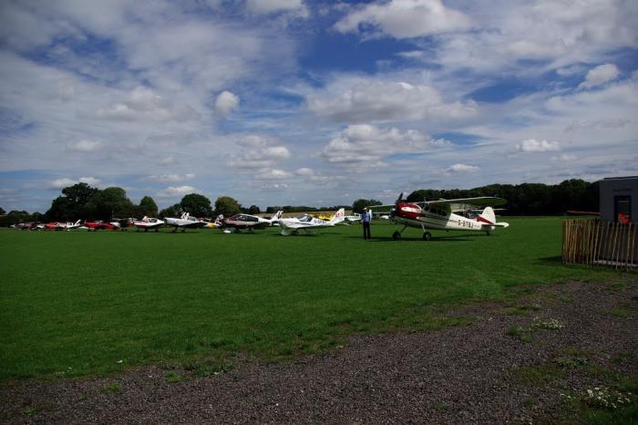
Sywell Aerodrome is the local aerodrome serving the town of Northampton, Wellingborough, Kettering and Rushden, as well as wider Northamptonshire.
OACI: EGBK
Website: www.sywellaerodrome.co.uk
OACI: EGBK
Website: www.sywellaerodrome.co.uk
Wikipedia article: http://en.wikipedia.org/wiki/Sywell_Aerodrome
Nearby cities:
Coordinates: 52°18'19"N -0°47'28"E
- Former RAE Bedford /RAF Thurleigh 22 km
- Alconbury Developments Limited (Former RAF Alconbury) 38 km
- RAF Wittering 40 km
- RAF Brize Norton 82 km
- London Heathrow Airport (LHR/EGLL) 94 km
- RAF Fairford 97 km
- Manchester International Airport (IATA: MAN, ICAO: EGCC) 157 km
- Dublin Airport 391 km
- Glasgow Prestwick Airport 437 km
- Belfast International Airport 446 km
- hannington farm land 2.3 km
- Sywell Country Park 2.5 km
- Overstone Lakes Caravan Site 2.6 km
- Round Spinney Industrial Estate 4.4 km
- Swansbrook Grove 5.5 km
- Pitsford Reservoir 5.6 km
- Croyland Park 6 km
- Wellingborough Golf Course 6.7 km
- University Of Northampton 7.2 km
- Pytchley Golf Lodge 8.6 km