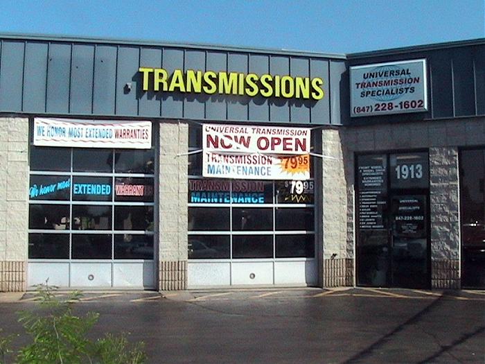
S Arlington Heights Rd., 1907-1929 (Arlington Heights, Illinois)
USA /
Illinois /
Arlington Heights /
Arlington Heights, Illinois /
S Arlington Heights Rd., 1907-1929
World
/ USA
/ Illinois
/ Arlington Heights
Nearby cities:
Coordinates: 42°3'0"N 87°58'52"W
- Yehyang Ministry 0.4 km
- Algonquin Road (Route 62), 425 0.9 km
- Arlington Heights Metra-STAR Station 1.2 km
- Continental Athletic Club 1.6 km
- Mallard Cove Condo complex 2.7 km
- Arlington Heights Public Works 4.1 km
- Jewel-Osco 4.6 km
- BB Nails 4.6 km
- Sonesta ES Suites 6.5 km
- Village of Palatine Combined Services Facility 7.7 km
- Tanglewood Apartments 0.4 km
- NW Toll. Arlington Hts. Rd. Exit - Interstate 90 1.1 km
- Arlington Lakes Golf Club 2 km
- US Army Reserves Training Center, Arlington Heights, IL 2.1 km
- Busse Lake 3.3 km
- Busse Woods 3.4 km
- Snowmobile area 3.6 km
- Plum Grove Hills 3.8 km
- Interstate 90 Interchange 4 km
- Cook County, Illinois 27 km