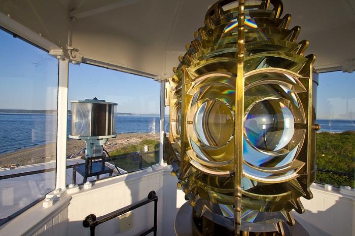
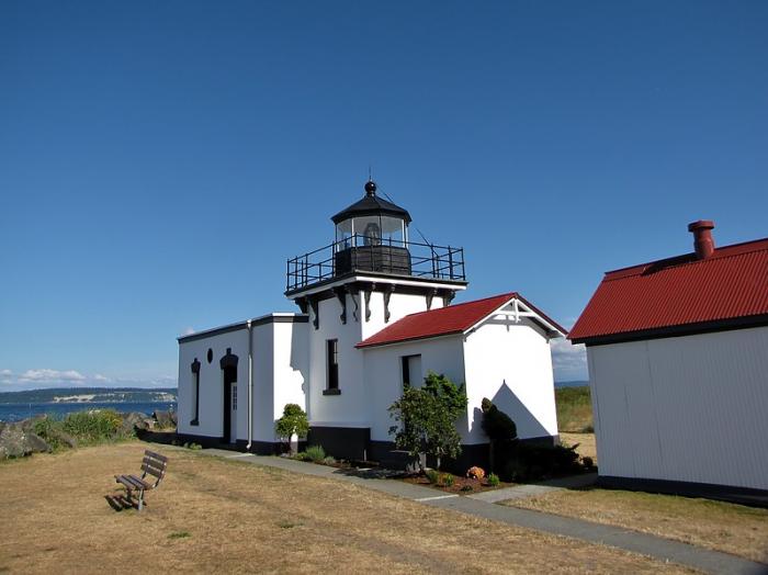
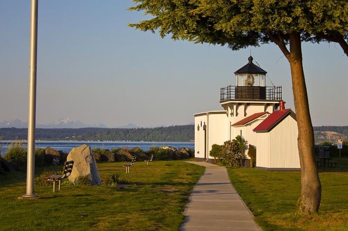
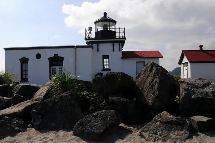
Point No Point Lighthouse
USA /
Washington /
Freeland /
World
/ USA
/ Washington
/ Freeland
World / United States / Washington
building, lighthouse, foghorn, observation point

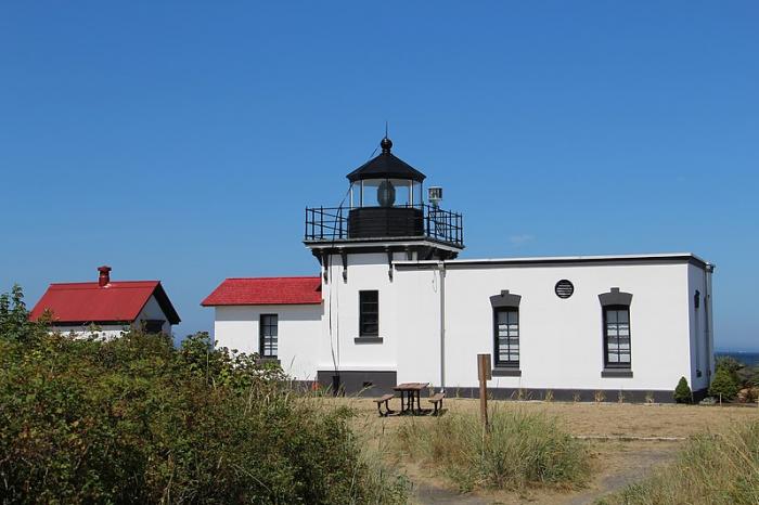
Wikipedia article: http://en.wikipedia.org/wiki/Point_No_Point_Light_(Washington)
Nearby cities:
Coordinates: 47°54'43"N 122°31'36"W
- Merry Island 202 km
- Heceta Head Lighthouse, Devils Elbow State Park 437 km
- Santa Cruz (Gull Island) Aid to Navigation 1570 km
- Lake Minatare State Recreation Area and Historic Lake Minatare Lighthouse 1633 km
- Lantern Point 1679 km
- Beacon Hill 2116 km
- Smoky Point Lighthouse 2566 km
- Playa de la Isla de la Piedra 3101 km
- USCG Molokai Light 4273 km
- USCG La’au Point 4304 km
- Hansville, Washington 3.6 km
- Useless Bay 6 km
- Port Gamble Indian Reservation 7 km
- Mutiny Bay 9 km
- Port Ludlow, Washington 12 km
- Pt. Gamble / Pope Forest 12 km
- Indianola, Washington 18 km
- Port Madison Indian Reservation 21 km
- Naval Submarine Base Bangor 25 km
- Hood Canal 38 km