Bridge ruins
Ukraine /
Zakarpatska /
Tyachiv /
World
/ Ukraine
/ Zakarpatska
/ Tyachiv
, 2 km from center (Тячів)
World / Romania
ruins
Add category
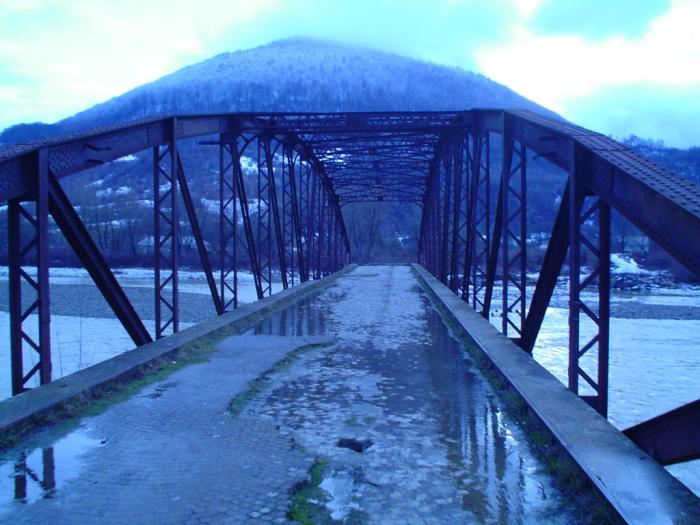
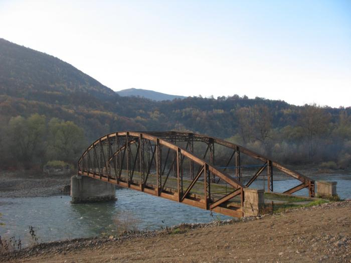
ww2 bombed bridge ruins
Nearby cities:
Coordinates: 48°0'17"N 23°34'34"E
- Dacian Fortresses of Mala Kopania 39 km
- Bad Road. 47 km
- Chioar (Kővár) Fortress 59 km
- Runway 02/20 80 km
- Roman ruins - excavations 97 km
- Porolissum 97 km
- Porolissum 97 km
- Kornis Castle 102 km
- Вrickwork, plant for production of bricks 121 km
- Military storage facility (abandoned) 126 km
- ул. Независимости, 52 0.6 km
- ул. Независимости, 50 0.6 km
- Church of the Dormition of the Theotokos 0.6 km
- Tennis courts 0.9 km
- ул. Независимости, 16 1 km
- ул. Независимости, 10/3 1.1 km
- Bedevlia Railway halt 6.4 km
- Avanhard Stadium 8.3 km
- Khust Raion 26 km
- Tiachiv Raion 32 km