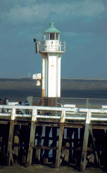
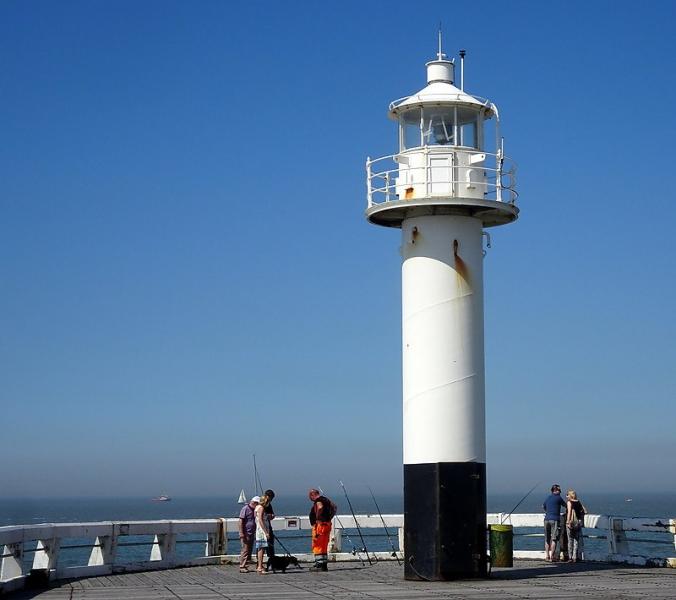
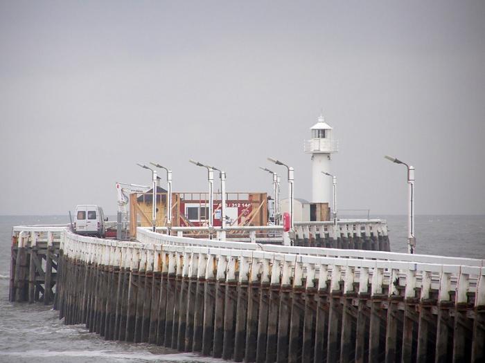
East Mole Lighthouse
Belgium /
West-Flandern /
Blankenberge /
World
/ Belgium
/ West-Flandern
/ Blankenberge
World / Belgium / Vlaanderen / West-Vlaanderen / Oostende
lighthouse, fog bell, navigation beacon - marine
Nearby cities:
Coordinates: 51°18'54"N 3°6'33"E
- Nieuwpoort Traffic control 32 km
- NORTH SEA West-Hinder MOW 7 SW Side of Bank light 47 km
- Lillo Pontoon NW + SE end lights 82 km
- Nordergründe Wind Farm NG0 Platform light 442 km
- Leitdamm Northward light 474 km
- Navigationsbake 'F' Beacon 474 km
- Kugelbake 474 km
- North-westward V(23) light 475 km
- Spitzsand light 476 km
- Navigationsbake 'W' Beacon 476 km
- Old Marina 0.7 km
- Marina 0.8 km
- St. Antonius and St. Rochus church 1.5 km
- De Pier 2 km
- Sea Life Center 2.5 km
- Blankenberge (municipality) 2.7 km
- Wielingenbad 2.8 km
- Bunker 4.1 km
- Zuienkerke (municipality) 7.2 km
- Zone NBH-10 11 km