Dosindhu
India /
Uttaranchal /
Gangotri /
World
/ India
/ Uttaranchal
/ Gangotri
World / India / Uttaranchal / Uttarkashi
river mouth
Add category
On the left bank of the Jadh ganga and opposite its confluence with the Jadhang gad.
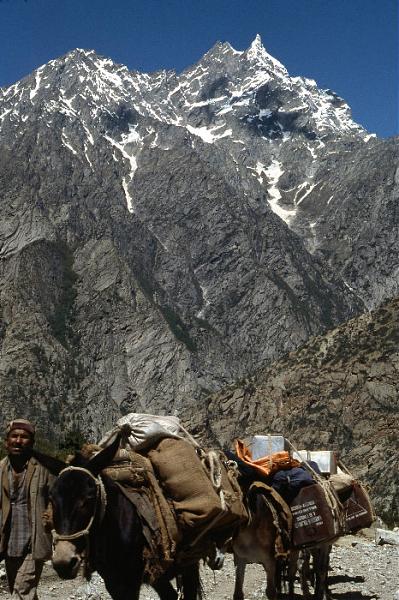
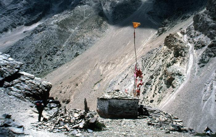
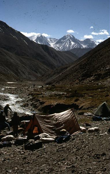
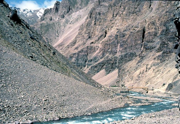
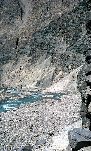
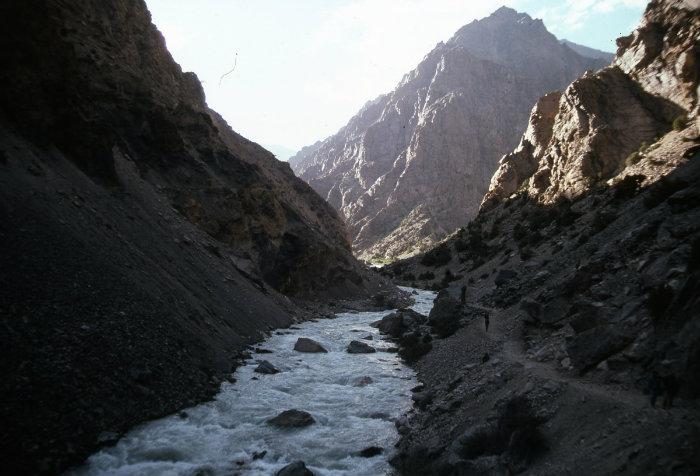
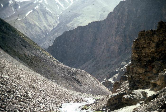
These pictures are of Dosindhu and a bit before and after it too.
These pictures are of Dosindhu and a bit before and after it too.
Nearby cities:
Coordinates: 31°8'53"N 79°4'37"E
- Unique Geomorphological Feature 90 km
- Kailas 244 km
- Lohiya river 248 km
- Kamin Deoha 249 km
- Jagbura river 249 km
- Khakra River 264 km
- Diversion point of Saryu and Ghagra 351 km
- Sangam of Saryu & Sharda river 438 km
- Ganga-Garrah Sangam 453 km
- Seti Nadi 579 km
- Nelang Valley 6.8 km
- Gangotri National Park 7.6 km
- Guli gad 8.2 km
- Dhumku (3245 m) 11 km
- Karmoli 16 km
- Pond 19 km
- Glacier 24 km
- Glacier, India. 25 km
- Chungsakhago La 29 km
- Baspa Glacier 31 km