North Thormanby Island
Canada /
British Columbia /
Sechelt /
World
/ Canada
/ British Columbia
/ Sechelt
World / Canada / British Columbia / Cowichan Valley
island
Add category
The name Thormanby was given to the island by Captain George Richards, who surveyed the area with his ship Plumber in 1860. The name Thormanby was that of the horse who won the Epsom derby, a famous horse race, that year. Several other place names in the area come from the Epsom derby. The island was uninhabited and forested until 1905, when John William (Jack) Vaughan built the first cabin and a wharf on the island. At the time of World War One, Vaughan sold the north east corner of the island to the BC Telephone Company, which developed a small resort there with rowboats, boat houses, a lodge, a telephone and cabin there. Upon returning from the first world war in 1919, Vaughan bought back the development from BC Tel, opening it to the public as a resort in 1923, while the Union Steamship Company daily service to North Thormanby Island.
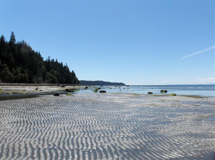
During the 1930s, a small recreational community of cottages was built along Vaucroft beach on the Buccaneer Bay side of the island. The Union Steamship stopped its service to Thormanby in 1946, after which logging operations of the old growth trees on the top of the island were carried out. Starting in the late 1960s, the island gradually was subdivided into recreational properties.. The present wharf on North Thormanby island, known as the Vaucroft port facility. This warf has been administered by the Sunshine Coast Regional district since 2001.
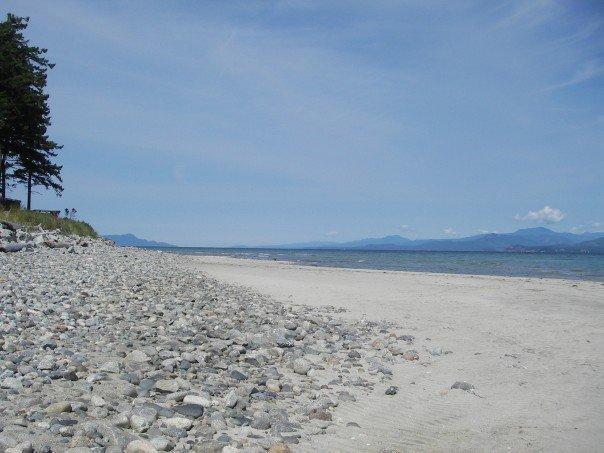
On the southern tip of the island is the Buccaneer Bay Provincial Park. On the norther tip of the island is the small community of Vaucroft Beach. The island is connected to South Thormanby Island.
During the 1930s, a small recreational community of cottages was built along Vaucroft beach on the Buccaneer Bay side of the island. The Union Steamship stopped its service to Thormanby in 1946, after which logging operations of the old growth trees on the top of the island were carried out. Starting in the late 1960s, the island gradually was subdivided into recreational properties.. The present wharf on North Thormanby island, known as the Vaucroft port facility. This warf has been administered by the Sunshine Coast Regional district since 2001.
On the southern tip of the island is the Buccaneer Bay Provincial Park. On the norther tip of the island is the small community of Vaucroft Beach. The island is connected to South Thormanby Island.
Wikipedia article: http://en.wikipedia.org/wiki/North_Thormanby_Island
Nearby cities:
Coordinates: 49°30'7"N 124°0'12"W
- Texada Island 57 km
- Cortes Island 112 km
- West Redonda Island 114 km
- Quadra Island 134 km
- Sonora Island 145 km
- Nootka Island 219 km
- Cracroft Island 228 km
- Calvert Island 381 km
- Hunter Island 413 km
- Campbell Island 426 km
- Smuggler's Cove Marine Park 3.5 km
- Secret Cove, British Columbia 4.6 km
- Halfmoon Bay 6.3 km
- Warnock Bay 12 km
- Sechelt,British Columbia 15 km
- Trail Islands 16 km
- Sechelt Inlet 18 km
- Mount Richardson Provincial Park 19 km
- Malaspina Strait 26 km
- Salmon Inlet 30 km